Anello 1
Tortona→Tortona
The Streets of Coppi
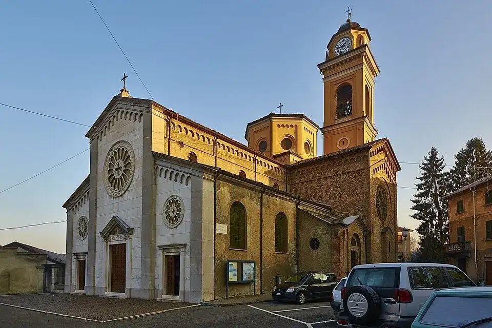
Chiesa di San Pietro, vista di tre quarti - panoramio · a place along the route · Sources and credits
There’s more to discover after the trail
All experiencesMeetings, tastings and activities to complete your day in Monferrato and the surrounding area.
Affiliate links: if you book through these links, MonferratoTrails may receive a commission at no extra cost to you. GetYourGuide handles booking, payment and support.
Interactive track
Route map
Path 1
Ring with departure and arrival at Tortona, 80.6 km and +1124 m of altitude difference: one of the three rings dedicated to the streets that were Fausto Coppi's training ground. From Tortona you go up towards Castellania, the birthplace of Fausto and Serse Coppi, then Sant'Agata Fossili, Cassano Spinola, Val Borbera, Garbagna, Avolasca and Sarezzano before returning.
Description of the route
The Tortona ring is the longest of the three Strade di Coppi: 80.6 kilometres, 1,124 meters of climb and around six and a quarter hours of movement make for a complete cycling day in the Tortona hills. The departure from the city immediately introduces the theme of the journey, that of the roads on which Fausto Coppi built his relationship with the bicycle. The length and the difference in altitude invite you to start at a regular pace, because the most significant part of the route develops far from the valley floor and requires continuity until the return.
From Tortona the track climbs towards Castellania Coppi, birthplace of Fausto and Serse and symbolic center of the entire itinerary. The road continues through Sant'Agata Fossili and Cassano Spinola, connecting the undulating hills to the Val Borbera route. It is a succession of agricultural landscapes, small nuclei and panoramic openings that allow you to read the territory with the same long and variable rhythm that characterized the Campionissimo's training sessions.
After Cassano Spinola the ring reaches Garbagna and faces the sector that passes through Avolasca and Sarezzano before returning towards Tortona. The changes in altitude are distributed throughout the day: there is not a single obstacle that exhausts the difficulty, but a series of climbs and descents to be managed without forcing. The official route and the map must be consulted especially at the crossroads between the towns, while water, power supply and mechanical autonomy must be organized for an excursion of over eighty kilometres.
The return to Tortona closes a circuit that combines sporting memory and real geography, without transforming Castellania into a simple isolated destination. The value of the route lies precisely in the continuity between the city, the hill towns and the valleys crossed: each stretch helps to tell the story of the territory in which Coppi lived and trained. Departure and arrival coincide, so the logistical organization is simpler than a linear stage; it is useful to identify in advance parking or access to the exact point indicated by the GPX and check the weather and conditions of the road network.
Places and territories affected
Tortona · Castellania Coppi · Sant'Agata Fossili · Cassano Spinola · Garbagna · Avolasca · Sarezzano
The Streets of Coppi · Tortona → Tortona
Stay before setting off or take a break along the way. Choose your base and spend more time exploring the places on this route.
Choose dates and adults in the widget, then open Booking.com for results.
Where to stay in TortonaPlaces to stay along the route
Data from the official source. Open the tab