A closer look
Lakes of the Gorzente: at a glance
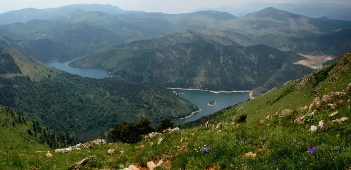
THE Gorzente lakes are a group of three artificial invaders of the Ligurian Apennines that feed the aqueducts of Genoa: lake Lungo (or Bigio) (684 m) and Lake Badana (also known as the local name of lgo de Fòggiarionda) (700 m) upstream, Lake Lavezze or Bruno (646 m) downstream. Lake Lavezze and Lake Lungo, the first artificial reservoirs for which the hydroelectric purpose was combined with water supply, are located on the border between the province of Genoa and the province of Alessandria, while Lake Badana is located entirely in Piedmontese territory. They are located in the territory of the municipalities of Bosio (AL), Campomorone (GE) and Ceranesi (GE).
Characteristics
The total capacity of the three invaders is over 12 million cubic meters.Explore this chapter
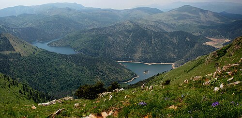
The total capacity of the three invaders is over 12 million cubic metres[1].
From Lake Lavezze there is a 2300 m tunnel that, passing under the Apennines, conveys water to Gallaneto (in the municipality of Campomorone, in Alta Valpolcevera) where the filtering and sorting plants are located.
The three lakes are part of the part that falls in the province Alessandria, of the Regional Park of the huts of Marcarolo. Lake Lungo is fed by the Lischeo rio, whose waters descend from nearby Monte Poggio (1081 m) and Mount Orditano (950 m). Lake Badana is also fed by the rivi that descend from Mount Poggio, while the lake BrunoIn addition to the waters from the two upstream invaders, it is fed by the water streams of Mount Figne (1172 m) and Mount Taccone. The lake Bruno It is also fed by a tunnel, built in the 20s of the twentieth century, which collects the waters of different relics, whose natural course was flowing into the Gorzente valley of the dam. A canal, which followed in another gallery, always took to the lake Bruno some rivi coming from the area of Benedicta, but for lack of maintenance this work does not carry out its function. Since 2005 Badana Lake has been emptied for maintenance work at the dam, the other two lakes continue to be fed.
According to Iren, dealer of the invader, in November 2021 works for the construction of the new lake dam Badana should start in 2022 and end in 2026, except unexpected; compared to the current state the dam will be raised in order to bring the level of the lake to 718 m a.s.l.[2]
The fish fauna of the Gorzente lakes is mainly composed of wild trout, iridous trout, carp, tinctures, glistening, perchians, cavedani. Fishing is allowed during certain periods of the year.
Despite the proximity to the sea, a dozen km in line of air, the climate that characterizes the lakes is typically continental. During the winter season there are often very low temperatures that make the surface of the invaders even completely frozen.
Links
Lake Lungo is reachable from Prou Renè, along the SP 4 road of Piani di Praglia , where the Naturalistic Path of Gorzente Lakes begins. From this...Explore this chapter
Lake Lungo can be reached from the locality Prou Renè, along the SP 4 dei road Plans of Praglia, where the Naturalistic trail of the Gorzente Lakes. From this other paths allow you to visit the other two lakes.
Lake Badana is more easily reachable from the huts of Marcarolo. There is also a dirt road that departs from the SP 4 near Monte Pesucco (surmounted by a large cross), through the Passo Prato Leone (779 m) leads directly to the management house, but is closed to private traffic. Until the years 80 of the twentieth century a service teleferica connected the lakes with Gallaneto (Campomorone).
History
Starting from 1883 the Lavezze Lake was built by the Company of the Aquedotto De Ferrari, then called Lake Bruno in honor of its creator and executor of the works...Explore this chapter
Starting from 1883 the lake Lavezze was built by the Company of the Aqueduct De Ferrari, then called Lake Bruno in honor of its creator and executor of the works engineer Nicolò Bruno and Lake Lungo to feed in part the water network of Genoa. In 1914, Lake Badana was built under Costa Lavezzara.
The lakes belong today to the Mediterranean of the Waters (Gruppo Iren), in which in 2006 is confluted, together with the other two historical managers of the Genoese water service (Genova Acque e Acquedotto Nicolay) the company "Acquedotto De Ferrari Galliera".
Image gallery
Explore this chapter
-
 View of Lake Bruno
-
 Another glimpse of Lake Bruno
-
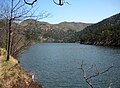 View of Lake Long
-
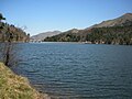 Other view of Lake Long
-
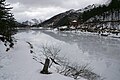 Lake Bruno iced
-
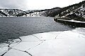 Lake Long in winter
-
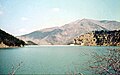 View of Lake Badana in 1974
-
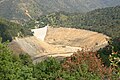 Lake Badana in 2007
The nature trail of the Gorzente Lakes
The “Sentiero naturalistic dei Laghi del Gorzente”, realized by volunteers of the CAI section of Bolzaneto, begins in the locality Prou Renè, on the provincial road...Explore this chapter
The “Sentiero naturalistic dei Laghi del Gorzente”, realized by volunteers of the section of the CAI of Bolzaneto, begins in the locality Prou Renè, on the provincial road of Piani di Praglia and develops along a ring path in the upper valley of the Gorzente torrent, touching two of the three lakes.
Along the route (about 5 hours walk) are identified and reported by appropriate plates the various tree species that meet, typical of the mixed woods of Liguria, although there are some species of conifers.
In addition to the aspects of naturalistic interest, there are places and artefacts of historical interest, including:
- The Stone of the Grano, a large boulder near which in ancient times merchants from the Po Valley regions met to exchange grain (hence the name of the place) and wine with the Ligurian merchants who supplied them with the typical products of the coast (mainly salt and oil).[3][4]
- One of the many neviere present in the area. It was more precisely glaciers, large cavities, of about 10 m of diameter and deep 5 or 6 meters, covered with stones, which, before the diffusion of the refrigerators, during the winter they were filled with snow and then covered with insulation material (dry leaves and straw); the snow, once solidified, was cut in blocks that were then transported to Genoa back of mulo in appropriate pockets of canvas; since the seventeenth century news of these plants, which remained in use until the 1870.[5]
- The Shrine of the martyrs of Passomezzano, in the place where some partisans who survived the Benedicta massacre were killed (the area of the Gorzente Lakes, during the liberation struggle, was the scene of clashes between partisans and German troops, particularly bloody in the days around Easter 1944, when the German army carried out a vast round-up action, in which dozens of partisans fell).
- The term of the Bronze Table of Polcevera. Located a short distance from the starting point of the route, it was one of the memorial stones placed in 117 BC. by the Romans to delimit the territory of the Ligurian Langenses, following the arbitration of the magistrates Quintus and Marcus Minucius Rufus.
-
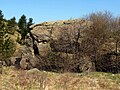 The "Pietra del Grano"
-
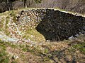 The snow
-
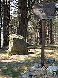 The term of the Bronze Table
Notes
Explore this chapter
- ^ cervinace.it | Lakes of Gorzente Archived on 6 January 2013 at the Wayback Machine.
- ^ Lake Badana, Iren: "The yard to raise the dam will be opened in 2022", up giornale7.it, 2 November 2021.
- ^ Alta Via dei Monti Liguri| Tappa Archived on August 7, 2009 at the Wayback Machine.
- ^ Powder, up polcevera.net.
- ^ Quotazero.com - Apennine Ligure - Neviere, up quotazero.com. Retrieved 4 May 2009 (archived fromoriginal url on 6 May 2014).
Bibliography
Explore this chapter
- Centro Studi Unioncamere Liguri, Studio Cartografico Italiano. Alta Via dei Monti Liguri. Genoa, 1983.
- Andrea Parodi. High streets of Liguria. Andrea Parodi Editore, Arenzano (GE), 2003.
- Antonio Berveglieri. Natural and artificial Liguria lakes. NuovaLitoEffe, Castelvetro Piacentino, 1997
Continue your journey