
Four roads, one territory
The Wine and Flavor Route
A cycle tourism network of approximately 700 km organized into four roads and 24 stages. The route combines wine-growing landscapes, villages, companies and local heritage; each card shows the official distance, the municipalities involved and the GPX track to follow.
Explore all routesComplete route
Grignolino road

Stage 1
Casale Monferrato→Zoalengo
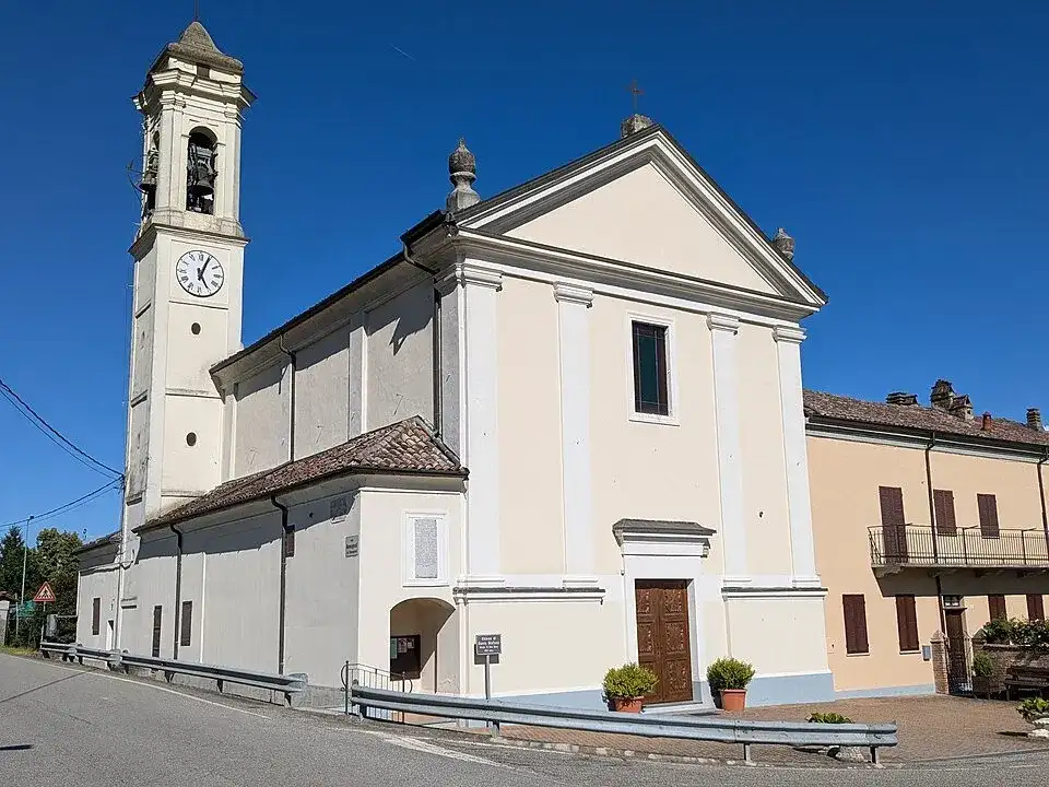
From Casale Monferrato to Zoalengo, this 30 km stage enters the landscape of the Strada del Grignolino: the Casalese hills, among stone villages, castles and vineyard landscapes linked to Grignolino. The journey passes through Camino, Casale Monferrato, Coniolo and Pontestura, intertwining vineyards, small towns and open views of the hills.- 30 km
- +870 m
 02
Stage 2
Zoalengo→Saint Anthony
From Zoalengo to Sant'Antonio, this 30.2 km stage enters the landscape of the Strada del Grignolino: the hills of Casalese, among stone villages, castles and vineyard landscapes linked to Grignolino. The journey passes through Moncestino, Cerrina Monferrato and Gabiano, intertwining vineyards, small towns and open views of the hills.- 30.2 km
- +790 m

Stage 3
Saint Anthony→Zenevreto
From Sant'Antonio to Zenevreto, this 30 km stage enters the landscape of the Strada del Grignolino: the hills of Casalese, among stone villages, castles and vineyard landscapes linked to Grignolino. The journey touches Odalengo Piccolo, Odalengo Grande, Murisengo and Mombello Monferrato, intertwining vineyards, small towns and open views of the hills.- 30 km
- +800 m

Stage 4
Zenevreto→Grazzano Badoglio
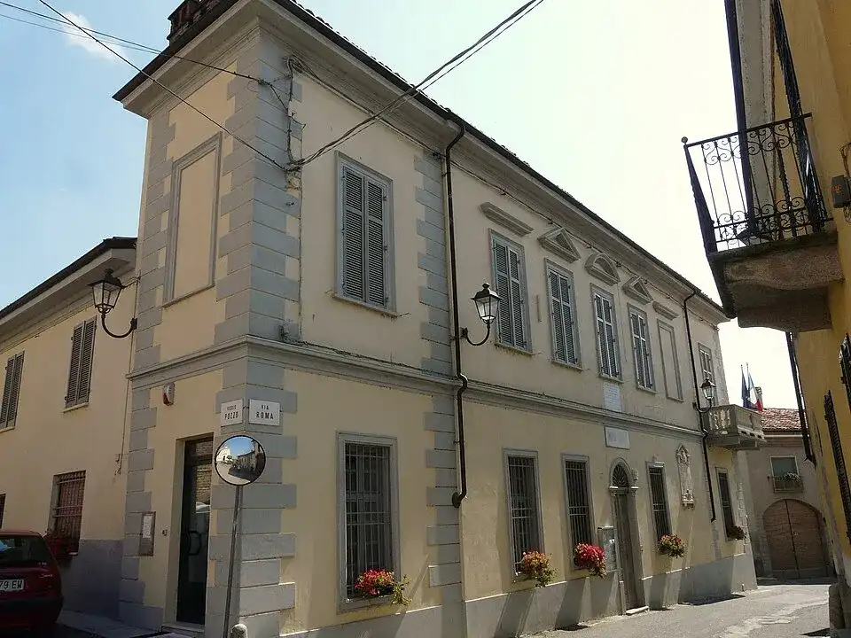
From Zenevreto to Grazzano Badoglio, this 30 km stage enters the landscape of the Strada del Grignolino: the Casalese hills, among stone villages, castles and vineyard landscapes linked to Grignolino. The journey touches Solonghello, Castelletto Merli, Alfiano Natta, Grazzano Badoglio, Moncalvo and Ponzano, intertwining vineyards, small towns and open views of the hills.- 30 km
- +820 m
 05
Stage 5
Grazzano Badoglio→Saint George
From Grazzano Badoglio to San Giorgio, this 30 km stage enters the landscape of the Strada del Grignolino: the Casalese hills, among stone villages, castles and vineyard landscapes linked to Grignolino. The journey passes through Casorzo, Cereseto, Ottiglio, Ozzano Monferrato, Sala Monferrato, San Giorgio Monferrato and Treville, intertwining vineyards, small towns and open views of the hills.- 30 km
- +640 m

Stage 6
Saint George→Prera
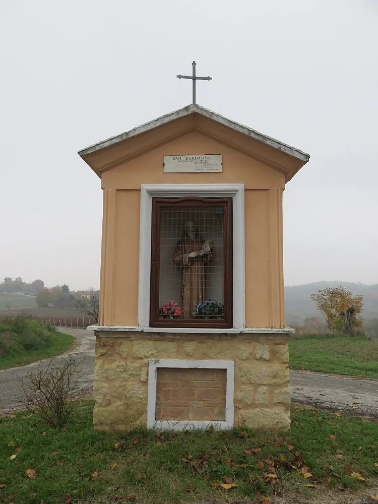
From San Giorgio to Prera, this 30 km stage enters the landscape of the Strada del Grignolino: the Casalese hills, among stone villages, castles and vineyard landscapes linked to Grignolino. The journey passes through Cella Monte, Rosignano Monferrato, San Giorgio Monferrato and Terruggia, intertwining vineyards, small towns and open views of the hills.- 30 km
- +730 m
 07
Stage 7
Prera→Mirabello
From Prera to Mirabello, this 30km stage enters the landscape of the Strada del Grignolino: the Casalese hills, among stone villages, castles and vineyard landscapes linked to Grignolino. The journey passes through Camagna Monferrato, Conzano, Frassinello Monferrato, Mirabello Monferrato, Occimiano, Olivola and Vignale Monferrato, intertwining vineyards, small towns and open views of the hills.- 30 km
- +420 m

Stage 8
Mirabello→Cuccaro
From Mirabello to Cuccaro, this 27 km stage enters the landscape of the Strada del Grignolino: the Casalese hills, among stone villages, castles and vineyard landscapes linked to Grignolino. The journey touches Lu and Cuccaro Monferrato and Mirabello Monferrato, intertwining vineyards, small towns and open views of the hills.- 27 km
- +490 m
Complete route
Wine River Route

Stage 1
Cuccaro→San Desiderio
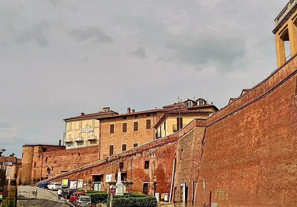
From Cuccaro to San Desiderio, this 30 km stage enters the landscape of the Strada dei Fiumi del Vino: the central band of the Monferrato, where the vineyard hills slope down towards Tanaro and Bormida. The journey passes through Altavilla Monferrato, Fubine, Grana, Lu and Cuccaro Monferrato and Montemagno, intertwining vineyards, small towns and open views of the hills.- 30 km
- +550 m
 02
Stage 2
San Desiderio→Overpass
From San Desiderio to Cavalcavia, this 30 km stage enters the landscape of the Strada dei Fiumi del Vino: the central band of the Monferrato, where the vineyard hills slope down towards Tanaro and Bormida. The journey passes through Castagnole Monferrato, Portocomaro, Refrancore and Scurzolengo, intertwining vineyards, small towns and open views of the hills.- 30 km
- +290 m

Stage 3
Overpass→Oviglio
From Overpass to Oviglio, this 30 km stage enters the landscape of the Strada dei Fiumi del Vino: the central band of the Monferrato, where the vineyard hills slope down towards Tanaro and Bormida. The journey passes through Felizzano, Masio and Oviglio, intertwining vineyards, small towns and open views of the hills.- 30 km
- +280 m

Stage 4
Oviglio→Castelnuovo Bormida
From Oviglio to Castelnuovo Bormida, this 35 km stage enters the landscape of the Strada dei Fiumi del Vino: the central band of the Monferrato, where the vineyard hills slope down towards Tanaro and Bormida. The journey passes through Bergamasco, Carentino, Castelnuovo Bormida, Frascaro, Gamalero, Oviglio and Sezzadio, intertwining vineyards, small towns and open views of the hills.- 35 km
- +190 m
Complete route
Route of Aromatics

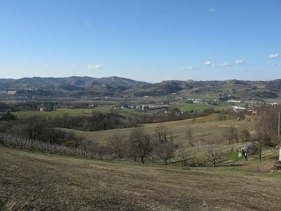
Stage 1
Castelnuovo Bormida→San Rocco
From Castelnuovo Bormida to San Rocco, this 29.8 km stage enters the landscape of the Strada degli Aromatici: the Acquese and its hills, territory of Moscato, Brachetto and aromatic wines. The journey touches Alice Belcolle, Cassine, Castelnuovo Bormida, Fontanile, Maranzana, Quaranti and Ricaldone, intertwining vineyards, small towns and open views of the hills.- 29.8 km
- +720 m
 02
Stage 2
San Rocco→Bistagno
From San Rocco to Bistagno, this 30.4 km stage enters the landscape of the Strada degli Aromatici: the Acquese and its hills, territory of Moscato, Brachetto and aromatic wines. The journey passes through Bistagno, Castel Boglione, Castel Rocchero and Mombaruzzo, intertwining vineyards, small towns and open views of the hills.- 30.4 km
- +640 m

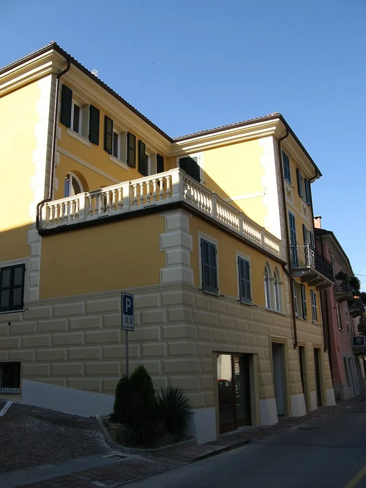
Stage 3
Bistagno→Rocchetta
From Bistagno to Rocchetta, this 31.8 km stage enters the landscape of the Strada degli Aromatici: the Acquese and its hills, territory of Moscato, Brachetto and aromatic wines. The journey passes through Bistagno, Denice and Ponti, intertwining vineyards, small towns and open views of the hills.- 31.8 km
- +1080 m
 04
Stage 4
Rocchetta→Montechiaro
From Rocchetta to Montechiaro, this 30.3 km stage enters the landscape of the Strada degli Aromatici: the Acquese and its hills, territory of Moscato, Brachetto and aromatic wines. The journey passes through Merana, Montechiaro D'Acqui, Pareto and Spigno Monferrato, intertwining vineyards, small towns and open views of the hills.- 30.3 km
- +1180 m

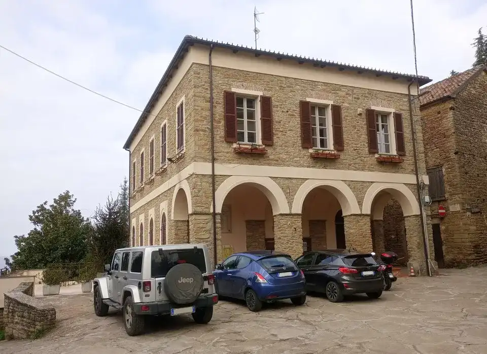
Stage 5
Montechiaro→Roboaro
From Montechiaro to Roboaro, this 31.3 km stage enters the landscape of the Strada degli Aromatici: the Acquese and its hills, territory of Moscato, Brachetto and aromatic wines. The journey passes through Cartosio, Castelletto D'Erro, Malvicino, Melazzo and Montechiaro D'Acqui, intertwining vineyards, small towns and open views of the hills.- 31.3 km
- +1020 m
 06
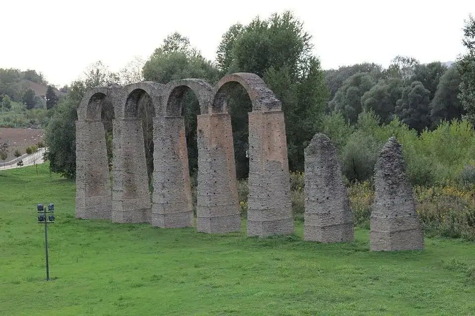
Stage 6
Roboaro→Cavatore
From Roboaro to Cavatore, this 30.3 km stage enters the landscape of the Strada degli Aromatici: the Acquese and its hills, territory of Moscato, Brachetto and aromatic wines. The journey passes through Cavatore, Pareto and Ponzone, intertwining vineyards, small towns and open views of the hills.- 30.3 km
- +1040 m
 07
Stage 7
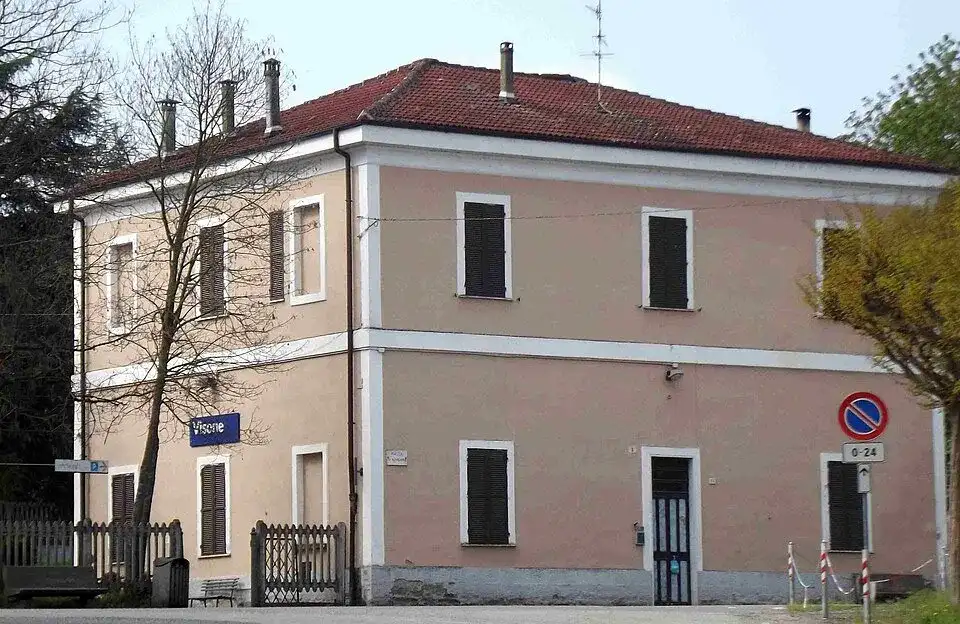
Cavatore→Visone
From Cavatore to Visone, this 30.5 km stage enters the landscape of the Strada degli Aromatici: the Acquese and its hills, territory of Moscato, Brachetto and aromatic wines. The journey passes through Acqui Terme, Cavatore, Rivalta Bormida, Strevi and Visone, intertwining vineyards, small towns and open views of the hills.- 30.5 km
- +500 m
 08
Stage 8
Visone→Cassinelle
From Visone to Cassinelle, this 16.58 km stage enters the landscape of the Strada degli Aromatici: the Acquese and its hills, territory of Moscato, Brachetto and aromatic wines. The journey passes through Cassinelle, Grognardo and Visone, intertwining vineyards, small towns and open views of the hills.- 16.58 km
- +670 m
Complete route
Dolcetto Road
 01
Stage 1
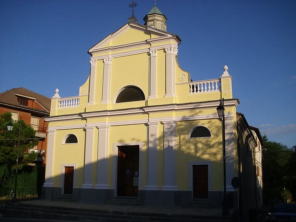
Cassinelle→Carpeneto
From Cassinelle to Carpeneto, this 32.8 km stage enters the landscape of the Strada del Dolcetto: the Ovadese and the Gaviese, among more marked reliefs, woods, vineyards and fortified villages. The journey touches Carpeneto, Cassinelle, Cremolino, Molare, Montaldo Bormida, Morsasco, Orsara Bormida, Prasco and Trisobbio, intertwining vineyards, small towns and open views of the hills.- 32.8 km
- +870 m
 02
Stage 2
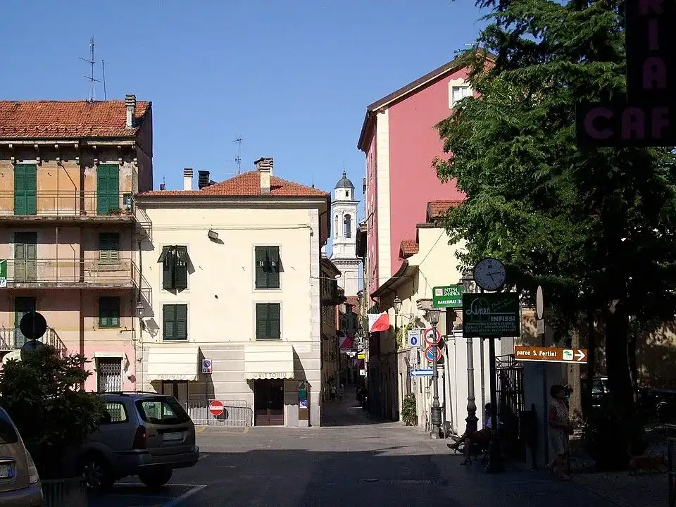
Carpeneto→Mornese
From Carpeneto to Mornese, this 30.54 km stage enters the landscape of the Strada del Dolcetto: the Ovadese and the Gaviese, among more marked reliefs, woods, vineyards and fortified villages. The journey passes through Belforte Monferrato, Carpeneto, Casaleggio Boiro, Lerma, Mornese, Ovada, Rocca Grimalda and Tagliolo Monferrato, intertwining vineyards, small towns and open views of the hills.- 30.54 km
- +680 m

Stage 3
Mornese→Cadegualchi
From Mornese to Cadegualchi, this 30.95 km stage enters the landscape of the Strada del Dolcetto: the Ovadese and the Gaviese, among more marked reliefs, woods, vineyards and fortified villages. The journey passes through Capriata D'Orba, Castelletto D'Orba, Montaldeo, Mornese, San Cristoforo and Silvano D'Orba, intertwining vineyards, small towns and open views of the hills.- 30.95 km
- +590 m

Stage 4
Cadegualchi→Gavi
From Cadegualchi to Gavi, this 14.55 km stage enters the landscape of the Strada del Dolcetto: the Ovadese and the Gaviese, among more marked reliefs, woods, vineyards and fortified villages. The journey passes through Bosio, Gavi and Parodi Ligure, intertwining vineyards, small towns and open views of the hills.- 14.55 km
- +290 m
Contents and images from the official sheets indicated.