Dolcetto · Tappa 2
Carpeneto→Mornese
The Wine and Flavor Route
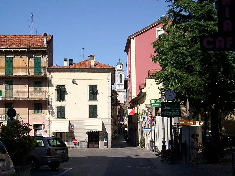
Ovada 02 · a place along the route · Sources and credits
There’s more to discover after the trail
All experiencesMeetings, tastings and activities to complete your day in Monferrato and the surrounding area.
Affiliate links: if you book through these links, MonferratoTrails may receive a commission at no extra cost to you. GetYourGuide handles booking, payment and support.
Interactive track
Route map
Dolcetto · tappa 2
From Carpeneto to Mornese, this 30.54 km stage enters the landscape of the Strada del Dolcetto: the Ovadese and the Gaviese, among more marked reliefs, woods, vineyards and fortified villages. The journey passes through Belforte Monferrato, Carpeneto, Casaleggio Boiro, Lerma, Mornese, Ovada, Rocca Grimalda and Tagliolo Monferrato, intertwining vineyards, small towns and open views of the hills.
Description of the route
This stage prosegue is the chapter dedicated to Dolcetto Road and connects Carpeneto to Mornese in 30,54 kilometers and approximately 680 meters of climb. It is not just a transfer between two locations: the segment allows you to read the Ovadese and the Gaviese, where vineyards and fortified villages are inserted among woods, valleys and reliefs now close to the Apennines. The distance leaves room for stops, but a choppy progression, in which ups and downs alternate continuously requires smooth pedaling management and a leisurely start.
The territory involved includes Belforte Monferrato, Carpeneto, Casaleggio Boiro, Lerma, Mornese, Ovada, Rocca Grimalda e Tagliolo Monferrato. The trail connects these centers without isolating them from the landscape that surrounds them: vineyards, fields, woods and ridges accompany the entrances to the villages and make the passage from one valley to another perceptible. It's the southern sector of the Road, more incisive and intimate, in which the wine landscape dialogues with castles, woods and roads connecting the valleys. In residential areas it is best to slow down, carefully monitor changes in direction and use stops to observe the relationship between rural architecture and vine cultivation.
The route covers 30.54 km and approximately +680 m of overall climb; it presents a wavy pattern, typical of the Monferrato hills. It is a day to be enjoyed at a regular pace, leaving room for stops in the villages and panoramic points along the itinerary. Bring water, check the weather and choose a vehicle suitable for a long hilly ride. The map at the beginning of the sheet allows you to recognize in advance the roughest sections and the position of the villages with respect to the altitude profile. While pedaling it is useful to keep the GPX available, especially at minor intersections and when the route leaves a main route to enter the local network of hills.
The punto di partenza è a Carpeneto; raggiungilo con il tempo necessario per preparare la bicicletta e orientarti sulla prima parte del tracciato. L'arrivo è a Mornese: per questa tappa lineare conviene organizzare il rientro, un trasferimento oppure il proseguimento verso la tappa successiva. L’arrivo a Mornese è anche il punto dal quale riparte la tappa seguente della Strada del Dolcetto, perciò può diventare una base di sosta oppure il riferimento per organizzare un viaggio di più giorni. Before getting into the saddle it is advisable to check the weather, water autonomy and road conditions, leaving a margin of time to visit the towns crossed without transforming the route into a simple succession of kilometres.
Places and territories affected
Belforte Monferrato · Carpeneto · Casaleggio Boiro · Lerma · Mornese · Ovada · Rocca Grimalda · Tagliolo Monferrato
The Wine and Flavor Route · Carpeneto → Mornese
Stay before setting off or take a break along the way. Choose your base and spend more time exploring the places on this route.
Choose dates and adults in the widget, then open Booking.com for results.
Where to stay in MornesePlaces to stay along the route
Data from the official source. Open the tab