3 giorni · Tappa 3
Spigno Monferrato→Finale Ligure
On the streets of Aleramo
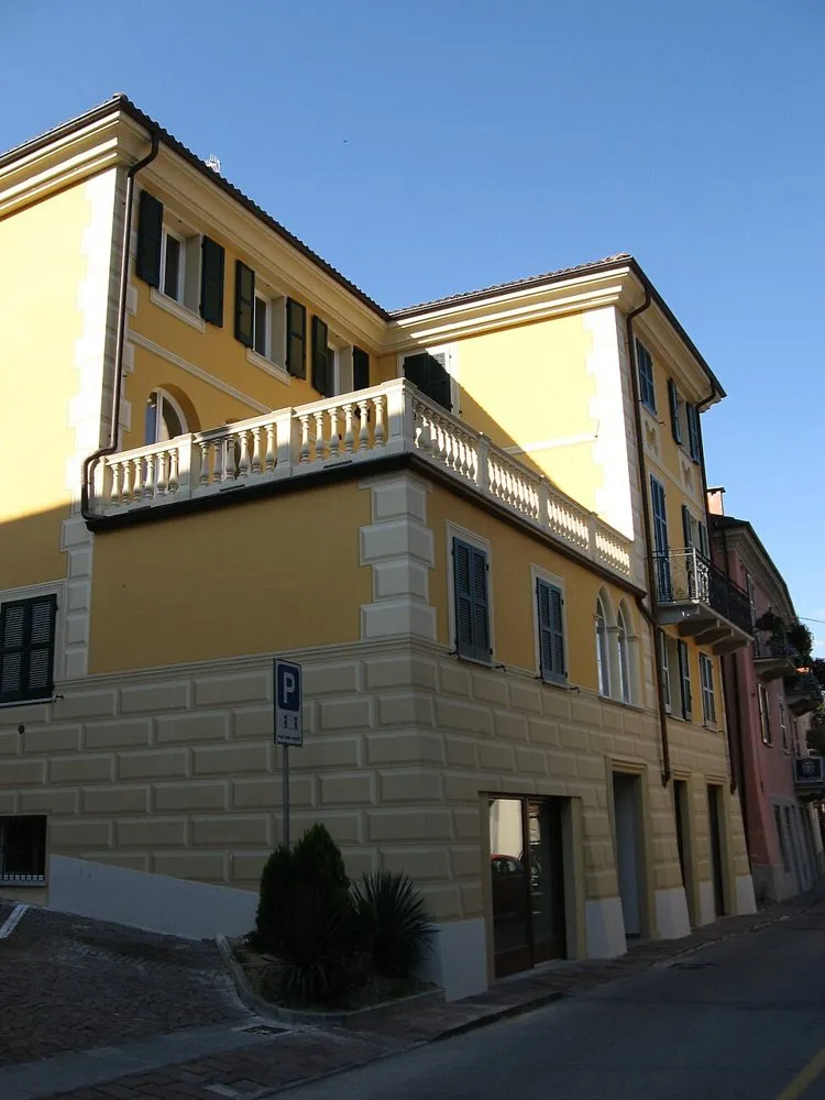
Spigno Monferrato (14091716584) · a place along the route · Sources and credits
There’s more to discover after the trail
All experiencesMeetings, tastings and activities to complete your day in Monferrato and the surrounding area.
Affiliate links: if you book through these links, MonferratoTrails may receive a commission at no extra cost to you. GetYourGuide handles booking, payment and support.
Interactive track
Route map
3 giorni · tappa 3
Linear stage from Spigno Monferrato to Finale Ligure, 66.8 km and +1260 m of altitude difference: the three-day sporting variant of the journey from the Monferrato hills to the sea. From Spigno you cross Pareto, Mioglia, Piana Crixia and Altare; the long climb to Colle del Melogno precedes the descent towards Finale Ligure.
Description of the route
From Spigno Monferrato to Finale Ligure the decisive transition from the hills to the sea takes place. It is the most challenging stage of the three-day version: 66.8 kilometres, 1,260 meters of climbing and an approximate time of 6 hours and 45 minutes. Here the Roads of Aleramo show their most adventurous character, because the ride gradually leaves the Bormida valley, crosses the Apennines and reaches the culmination point of the journey before descending towards the coast.
The departure from Spigno introduces a sequence of centers that accompanies the change of environment: Pareto, Mioglia and Piana Crixia mark the approach to internal Liguria. The distances between villages, repeated climbs and increasing altitude make it essential to set a cautious pace from the start. The woods become more present, the profile becomes mountainous and the panoramic openings tell of a ridge geography, very different from the hills crossed in the first two days.
In Altare the journey enters its final section, but it is not yet time to relax. The long climb towards Colle del Melogno takes the route up to the highest altitudes of the entire itinerary. The official sheet indicates a combination of road, paths and dirt: this is why a suitable bicycle, reliable tires and the GPX already available offline are important. The pass is the symbolic point where the journey changes horizons; once over the ridge, the air and light announce the proximity of the sea.
The descent towards Finale Ligure is the reward of the stage, but it must be tackled with care, especially after many hours in the saddle and on wet or uneven surfaces. The Ligurian hinterland progressively gives way to the coast, until it reaches almost sea level. After over two hundred kilometers in total, the route ends by ideally uniting Casale Monferrato with the territory of the Marquises of Finale: a conclusion consistent with the legend of Aleramo and with the identity of an itinerary that crosses two regions, hills, mountains and maritime landscapes.
Places and territories affected
Spigno Monferrato · Pareto · Mioglia · Piana Crixia · Altare · Colle del Melogno · Finale Ligure
On the streets of Aleramo · Spigno Monferrato → Finale Ligure
Stay before setting off or take a break along the way. Choose your base and spend more time exploring the places on this route.
Choose dates and adults in the widget, then open Booking.com for results.
Find stays for this stagePlaces to stay along the route
Data from the official source. Open the tab