From the hills to the sea
On the streets of Aleramo
A cycling itinerary of over 240 km from Casale Monferrato to Finale Ligure, through Basso and Alto Monferrato, the Apennines and the Ligurian hinterland. The three-stage version is sportier; the one in six half-stages leaves more time to visit the territories.
Explore all routesComplete route
3 giorni
 01
Stage 1
Casale Monferrato→Sezzadio
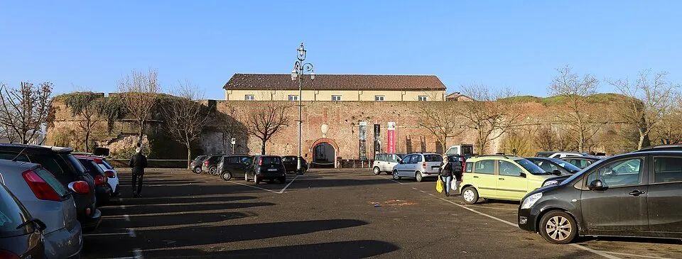
Linear stage from Casale Monferrato to Sezzadio, 71.6 km and +546 m difference in altitude: the three-day sporting variant of the journey from the Monferrato hills to the sea. From the Paleologi castle you reach Grazzano Badoglio, Fubine and Oviglio, ending at the abbey of Santa Giustina at Sezzadio.- 71.6 km
- +546 m
- 5 h 5 min

Stage 2
Sezzadio→Spigno Monferrato
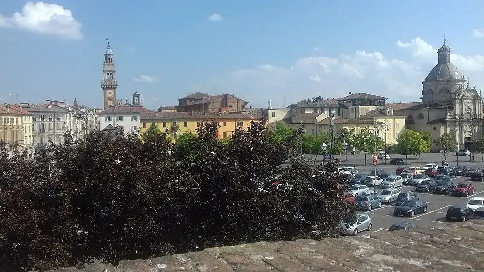
Linear stage from Sezzadio to Spigno Monferrato, 63.6 km and +495 m difference in altitude: the three-day sporting variant of the journey from the Monferrato hills to the sea. From Sezzadio the route passes through Cassine, Ricaldone, Strevi and Acqui Terme, then follows the Bormida valley through Monastero Bormida to Spigno.- 63.6 km
- +495 m
- 4 h 55 min
 03
Stage 3
Spigno Monferrato→Finale Ligure
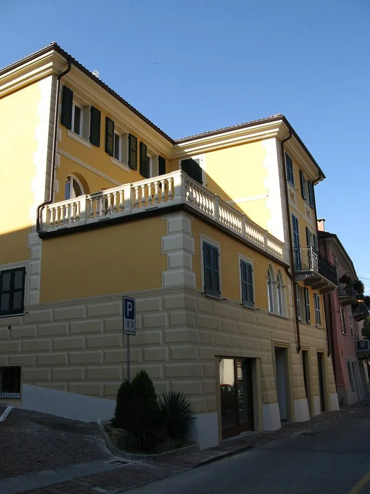
Linear stage from Spigno Monferrato to Finale Ligure, 66.8 km and +1260 m of altitude difference: the three-day sporting variant of the journey from the Monferrato hills to the sea. From Spigno you cross Pareto, Mioglia, Piana Crixia and Altare; the long climb to Colle del Melogno precedes the descent towards Finale Ligure.- 66.8 km
- +1260 m
- 6 h 45 min
Complete route
6 giorni
01Stage 1
Casale Monferrato→Grazzano Badoglio
Linear stage from Casale Monferrato to Grazzano Badoglio, 23.9 km and +410 m of altitude difference: a half-stage of the six-day variant, designed to better distribute distance and altitude difference. First half-stage from the lands of the Paleologi to the tomb of Aleramo at Grazzano Badoglio.- 23.9 km
- +410 m
- 1 h 50 min
 02
Stage 2
Grazzano Badoglio→Sezzadio
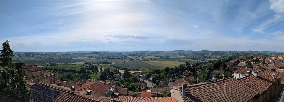
Linear stage from Grazzano Badoglio to Sezzadio, 47.7 km and +127 m of altitude difference: a half-stage of the six-day variant, designed to better distribute distance and altitude difference. From the hills of Grazzano you descend towards the plain, passing through Altavilla and Oviglio up to the abbey of Sezzadio.- 47.7 km
- +127 m
- 3 h 15 min
Stage 3
Sezzadio→Acqui Terme
Linear stage from Sezzadio to Acqui Terme, 30.6 km and +294 m of altitude difference: a half-stage of the six-day variant, designed to better distribute distance and altitude difference. From Sezzadio you cycle towards Cassine, Ricaldone and Strevi, arriving in the spa town of Acqui.- 30.6 km
- +294 m
- 2 h 25 min
Stage 4
Acqui Terme→Spigno Monferrato
Linear stage from Acqui Terme to Spigno Monferrato, 33 km and +224 m of altitude difference: a half-stage of the six-day variant, designed to better distribute distance and altitude difference. From Acqui follow the Bormida valley through Monastero Bormida to the village of Spigno Monferrato.- 33 km
- +224 m
- 2 h 35 min
05Stage 5
Spigno Monferrato→Altare
Linear stage from Spigno Monferrato to Altare, 40.9 km and +706 m of altitude difference: a half-stage of the six-day variant, designed to better distribute distance and altitude difference. From Spigno the route faces the Apennines passing through Pareto, Mioglia and Piana Crixia up to Altare.- 40.9 km
- +706 m
- 3 h 50 min
 06
Stage 6
Altare→Finale Ligure
Linear stage from Altare to Finale Ligure, 25.9 km and +561 m of altitude difference: a half-stage of the six-day variant, designed to better distribute distance and altitude difference. From Altare you go up to Colle del Melogno and down between the Ligurian hinterland and the sea up to Finale Ligure.- 25.9 km
- +561 m
- 2 h 55 min
Contents and images from the official sheets indicated.