6 giorni · Tappa 5
Spigno Monferrato→Altare
On the streets of Aleramo
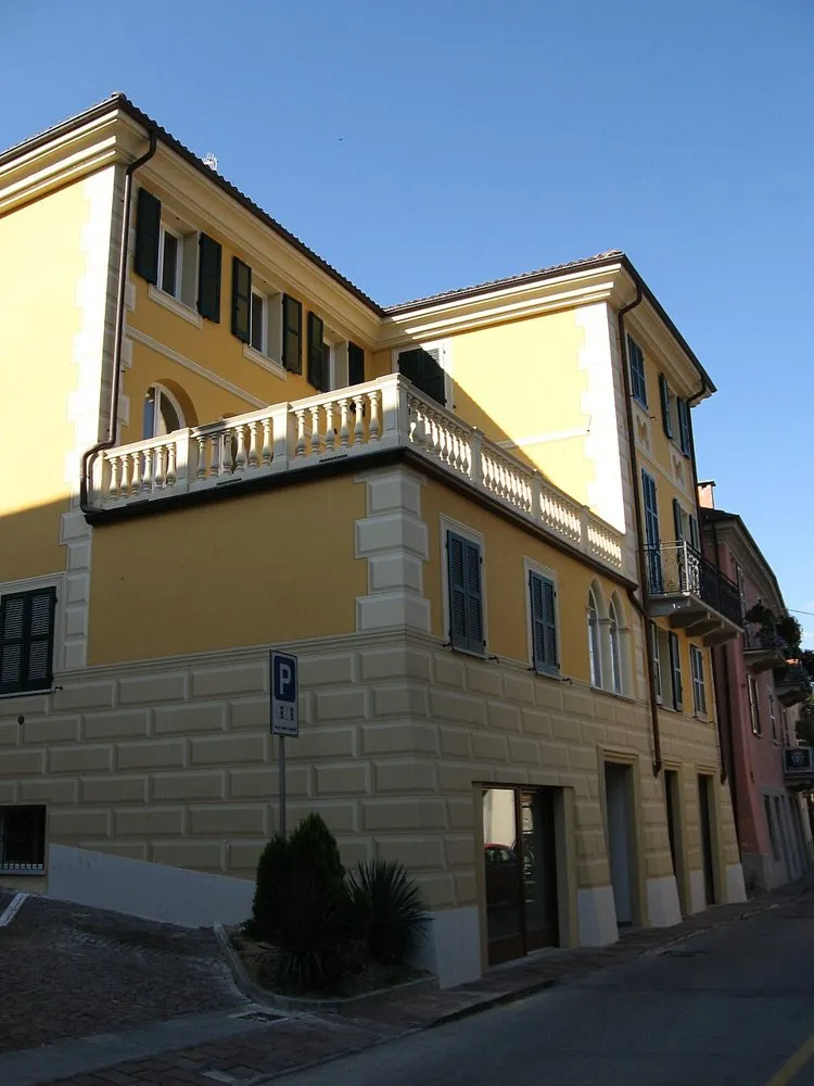
Spigno Monferrato (14091716584) · a place along the route · Sources and credits
There’s more to discover after the trail
All experiencesMeetings, tastings and activities to complete your day in Monferrato and the surrounding area.
Affiliate links: if you book through these links, MonferratoTrails may receive a commission at no extra cost to you. GetYourGuide handles booking, payment and support.
Interactive track
Route map
6 giorni · tappa 5
Linear stage from Spigno Monferrato to Altare, 40.9 km and +706 m of altitude difference: a half-stage of the six-day variant, designed to better distribute distance and altitude difference. From Spigno the route faces the Apennines passing through Pareto, Mioglia and Piana Crixia up to Altare.
Description of the route
The fifth half-stage is the real entrance into the mountain. From Spigno Monferrato to Altare you travel 40.9 kilometers with 706 meters of positive altitude difference, climbing from the valley floor to a maximum altitude of around 715 metres. The official classification is easy on a technical level and almost entirely road-based, but the profile requires good effort management: it is the day in which the continuity of the climbs counts more than the distance.
Leaving Spigno, the route heads towards Pareto and progressively gains altitude. The Bormida landscape closes in, the woods become denser and the villages are separated by quieter stretches. Pareto marks one of the main passages before entering the Apennine area; from here the road continues towards Mioglia, offering a sequence of climbs and short recoveries that reward a prudent and constant cadence.
Between Mioglia and Piana Crixia the journey crosses a border territory, where the Piedmontese identity gradually gives way to the Ligurian hinterland. The panoramic openings alternate with sectors in the woods and the altitude makes the weather more variable than in the previous stages. Even if the short off-road sections are marginal, it is useful to have tires in good condition, suitable clothing for the descent and a sufficient reserve of water between one center and another.
Altare concludes the semi-stage as a geographical and historical threshold. The town is close to the pass that connects the Po Valley side with the Ligurian side and prepares the last day towards Colle del Melogno and Finale. Arriving here in six days, rather than immediately crossing the entire Apennines, allows you to recover after the difference in altitude and to tackle the final section with clarity, the most varied in terms of terrain and the most spectacular for the transition from altitude to sea level.
Places and territories affected
Spigno Monferrato · Pareto · Mioglia · Piana Crixia · Altar
On the streets of Aleramo · Spigno Monferrato → Altare
Stay before setting off or take a break along the way. Choose your base and spend more time exploring the places on this route.
Choose dates and adults in the widget, then open Booking.com for results.
Find stays for this stagePlaces to stay along the route
Data from the official source. Open the tab