Reserve and protected area
Riserva naturale delle Rocche di Antignano
Antignano · Isola d’Asti
The Rocche di Antignano flank the Tanaro with eroded cliffs, farmed slopes and riverside vegetation. Hill settlements reveal the valley’s form and transitions among vineyards, woodland and river.
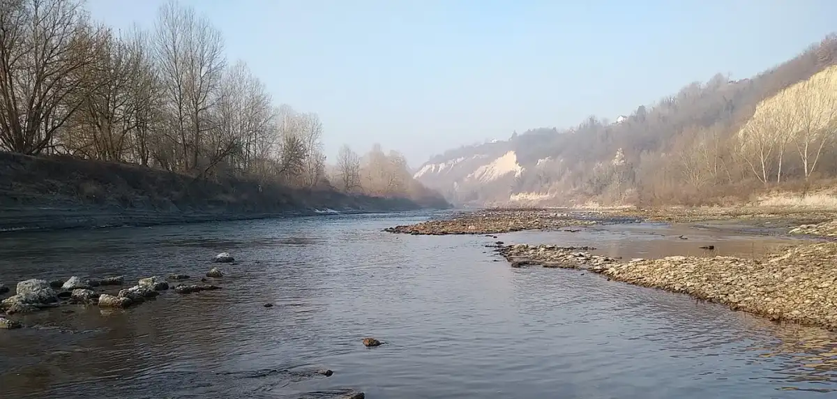
The Tanaro and its cliffs
The reserve covers 78.47 hectares in Antignano and Isola d’Asti. The river has cut into Pliocene marine deposits, exposing clay and marl with sand in the upper layers. Erosion creates scarps and pointed formations whose appearance changes with the light. These walls record the work of water and changes in the river system associated with the capture of the Tanaro. The hills offer an overall view without approaching cliff edges.
Habitats and species
Willows and poplars grow near the river; country lanes also meet oaks and wetland vegetation. Higher up, vineyards, cherry trees and hazelnut orchards shape the farmland. The transition between water, woodland and cultivation supports a variety of habitats. To watch birds, stop quietly at a distance rather than approach the bank: nesting activity and the species present change through the year.
History in the landscape
The Tanaro has also been a place to live and travel. A boat hollowed from a tree trunk, found on its banks and attributed to the later Middle Ages, is preserved at Turin’s Museum of Antiquities. This discovery adds a human dimension to the geological landscape. The reserve joined the regional protected-area system in 2019, bringing conservation of the banks alongside agricultural activity.
Planning your visit
Antignano, Perosini and Gonella are useful bases for understanding the reserve landscape. A booked visit with the Parco Paleontologico Astigiano helps select a section suited to season and group. Bring water and grippy footwear; after heavy rain favour hill viewpoints over low muddy sections.
Places to discover
Open a place on the map to find your bearings. Follow permitted access routes and signs on site.
Antignano
The village is an orientation point before visiting. The map leads to the settlement; choose only verified public connections from there.
Open in Google Maps · AntignanoPerosini
A hamlet overlooking the Tanaro valley, useful for understanding the relationship between cultivated hills and cliffs. The point identifies the settlement.
Open in Google Maps · PerosiniGonella
Perosini offers a viewpoint over hills, vineyards and eroded slopes.
Open in Google Maps · GonellaBefore you visit
Can I approach the cliff faces?
Observe from permitted routes at a distance. Slopes are eroding: avoid cliff edges and bases, especially after rain.
Are guided visits available?
Guided visits can be booked with the Parco Paleontologico Astigiano, agreeing meeting point, duration and a route suited to the group.