Nature park
Parco Naturale di Rocchetta Tanaro
Rocchetta Tanaro
Rocchetta Tanaro protects hillside woodland crossed by streams, paths and small clearings. Enter at Sant’Emiliano to discover tall oaks, the Grande Faggio beech and cooler valley habitats, choosing between three differently structured loops.
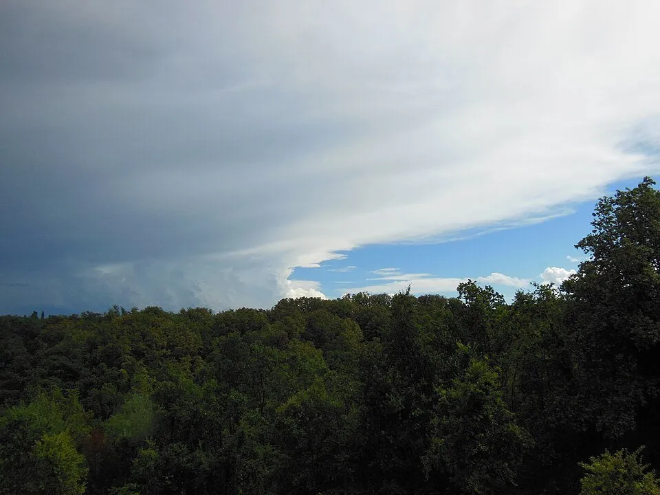
Woodland between two streams
The park covers about 121 hectares in Rocchetta Tanaro, on hills descending towards the Tanaro plain. The Rabengo and Ronsinaggio streams collect water from the slopes along the woodland edges. Elevation changes, sometimes inconspicuous from the road, shape the walks: loops link valley floors and ridges. Tall oak woodland, coppice and agricultural openings distinguish this landscape from the wet alder wood of nearby Verneto, a separate protected site.
Grande Faggio and varied habitats
Sessile and pedunculate oaks occupy different positions alongside chestnut, black locust, hornbeam and hazel. Grande Faggio is a particularly significant beech at this low altitude, recalling cooler conditions favourable to beech woodland. Primroses, lily of the valley and orchids grow below, while woodpeckers, jays and tawny owls find shelter in the trees. Bigatti’s pond adds a recovering wetland habitat. Exploring these contrasts is more rewarding than expecting a guaranteed wildlife sighting on one visit.
Astigiano’s first protected area
Established in 1980, the park benefited from the commitment of Mario Incisa della Rocchetta, one of WWF Italy’s founders. Its history links a rural estate with the decision to preserve woodland heritage. Today La Casa fra le Querce hosts environmental education activities and stays centred on learning about the forest. Alongside independent walks, visitors can arrange guided or educational experiences with the centre, agreeing content, availability and visiting arrangements in advance.
Three loops from Sant’Emiliano
Sant’Emiliano car park is the shared starting point for three official routes: Casa Parco–Bigatti–Grande Faggio, Casa Parco–Fonte Canà–Gatti and Gran Giro. Surfaces combine gravel roads, forest tracks and short paved sections. Some climbs are long, so choose your track before setting out. Take particular care descending from Casa Parco after rain. Ordinary access is from dawn to dusk; guided activities and stays require arrangements. An accessible building does not make every woodland path accessible.
Places to discover
Open a place on the map to find your bearings. Follow permitted access routes and signs on site.
Parcheggio Sant’Emiliano
Published starting point for all three park loops; follow the walking track from here.
Open in Google Maps · Parcheggio Sant’EmilianoGrande Faggio
Woodland landmark included in the loop linking Casa Parco and Area Bigatti.
Open in Google Maps · Grande FaggioFonte Canà
Spring on the Gatti loop and Gran Giro; do not drink its water without local confirmation that it is safe.
Open in Google Maps · Fonte CanàArea Bigatti
Rest area with a recovering pond, linked to the Grande Faggio and Gran Giro routes.
Open in Google Maps · Area BigattiLa Casa fra le Querce
Environmental education centre at Regione Sant’Emiliano 42; contact it for activities and stays.
Open in Google Maps · La Casa fra le QuerceTrails in the park 5

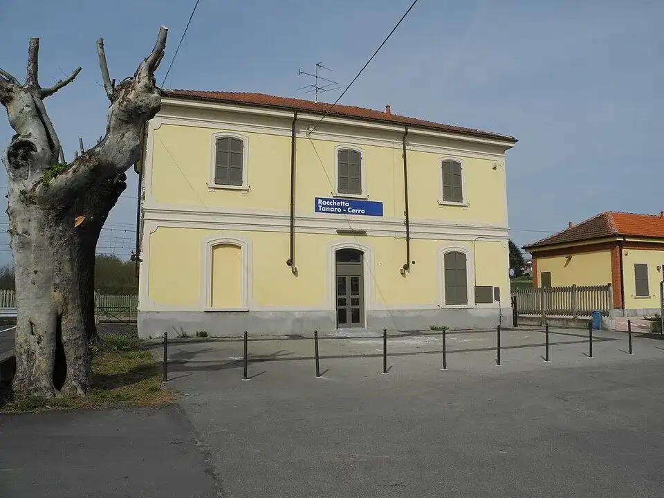
Before you visit
Is Verneto the same park?
No. The nature park is the hillside woodland reached from Sant’Emiliano. Verneto is a separate Natura 2000 site centred on wet black alder woodland; check its access and visiting arrangements separately.
Where should I start?
Use Sant’Emiliano car park, shared by the three official loops. Choose Bigatti–Grande Faggio, Fonte Canà–Gatti or Gran Giro in advance to avoid mixing sections from different routes.