Reserve and protected area
Bosco delle Sorti “La Communa”
Alice Bel Colle · Bruno · Cassine · Maranzana · Mombaruzzo · Ricaldone
Between Acquese and Astigiano, La Communa preserves 1,819 hectares of wooded hills and small valleys. Oaks, chestnuts and traces of communal use accompany paths from the villages.
Six municipalities, one landscape
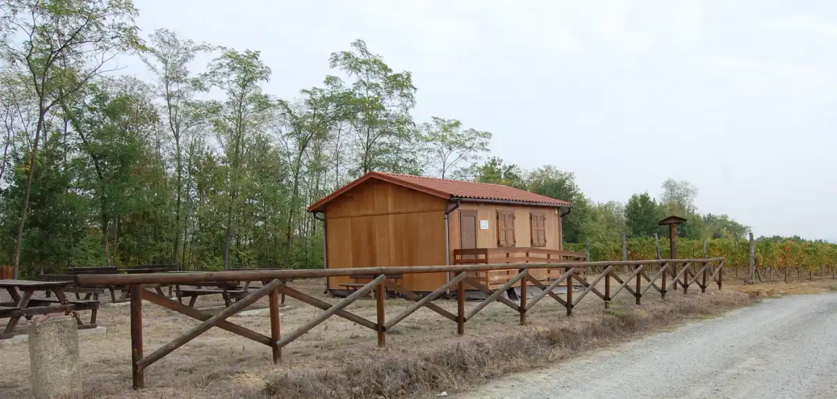
The protected landscape covers 1,819 hectares across Alessandria and Asti provinces, roughly 150–210 metres above sea level. Gentle ridges, hollows and streams create a mosaic of woodland, vineyards and fields. Several villages offer different ways into the same landscape.
Oaks on the ridges
Downy oak and Turkey oak favour warmer slopes; sessile oak and chestnut mark cooler exposures, with pedunculate oak near damp hollows. Heather, juniper and broom grow in openings, while ferns follow valley bottoms. Past cutting and planting also shaped the woodland.
From communal land to lots
“Communa” comes from comunalia, land shared by neighbouring communities. The grant to Cassine was confirmed in 1456; later the woodland was divided into seven districts, each with twenty-eight lots allocated by drawing. Ownership was privatised in 1858–60, but names and boundaries remain in maps and local memory.
From village to woodland
The CAI Chiesa del Presepio route starts in Mombaruzzo, crosses the old centre and Borgo Vignale, then reaches the woodland and Rio Secco. Junctions and an educational area lie in the forest, so carry a current track. Clay surfaces can become muddy after rain.
Woodland shaped by people
Today’s woodland is not unchanged. Population growth, repeated cutting and expanding farmland reduced it, and black locust was planted in the nineteenth century to improve yields. It now occurs mainly at the edges, while introduced chestnut has become part of the hill ecosystem. Walkers can compare margins, coppice, chestnut stands and oak groups. The 2001 designation gave a shared framework to land split among six municipalities and two provinces.
Places to discover
Open a place on the map to find your bearings. Follow permitted access routes and signs on site.
Mombaruzzo
Starting point for the route to Chiesa del Presepio and Rio Secco.
Open in Google Maps · MombaruzzoChiesa del Presepio
Country chapel that gives its name to the Mombaruzzo route.
Open in Google Maps · Chiesa del PresepioCassine
The old town introduces the history of the Communa and its woodland management.
Open in Google Maps · CassineTrails in the park 1

Before you visit
What does “Sorti” mean?
They were woodland lots allocated by drawing. Each district contained twenty-eight portions.
Where does the main route start?
From Mombaruzzo, passing through the old centre and Borgo Vignale before entering the woodland.