A closer look
Monte Barilaro: at a glance
Description
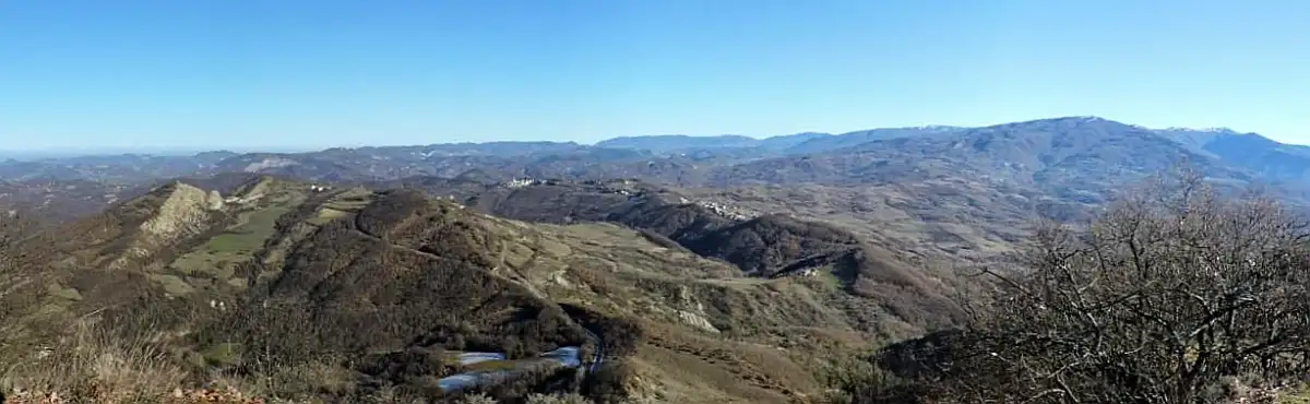
The mountain is located on the watershed between Grue valley and Borbera valley, on the border between the municipalities of Cantalupo Ligure and Dernice, both in the province of Alessandria . Just east...Explore this chapter
The mountain is located on the watershed between Grue valley and Borbera valley, on the border between the municipalities of Cantalupo Ligure And Dernice, both in province of Alessandria. Just east of its summit is the bocchetta di Barilaro, a pass that connects the two valleys. At the top of the mountain, a secondary rib detaches from the watershed and heads south, separating two lateral valleys of the Borbera valley; this ridge rises up to 911 meters of Mount Gavasa, and then loses altitude and ends at the Strette di Pertuso.
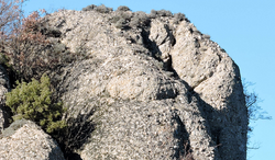
The Barilaro is well recognisable by the other mountains of the area for the characteristic conglomerate tower that supports the summit from north-east.
Access to the top
The top of the mountain can be reached via a path from the south fork of Monte Barilaro , at 764 m altitude and located between Barilaro himself and Mount Gavasa; to the collar...Explore this chapter
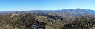
The top of the mountain can be reached via a path from south fork of Monte Barilaro, at an altitude of 764 m and located between Barilaro itself and Mount Gavasa; the collar can be reached from different starting points, including Costa Marlassino, Molo di Brobera or Rivarossa. [3]
Support points
Explore this chapter
- Bivacco Alda and Carlo Martesotti, from the CAI of Novi Ligure, in Rivarossa
Notes
Explore this chapter
- ^ In the lands of the dragon (PDF), up region.piemonte.it, Region Piemonte. Retrieved 26 December 2016.
- ^ Monte Barilaro - Rivarossa Refuge, up cainoviligure.it, CAI of Novi Ligure. Retrieved 26 December 2016 (archived fromoriginal url on 4 March 2016).
- ^ Consult Provincial for Sentieristica, Sentiero 208 Strette di Pertuso - M.te Barilaro (PDF), up province.alessandria.gov.it, Province of Alessandria. Retrieved 26 December 2016 (archived fromoriginal url on 15 April 2016).
Continue your journey