Trails · Monferrato
Monferrato trails: follow a trail, discover a landscape
A path often begins with a simple gesture: leaving the last houses, taking a country road and seeing the town from a new perspective. On the paths of the Monferrato the discovery proceeds like this, through connections that bring together woods, vineyards, valley bottoms and villages. A line on the map becomes a climb, a crossroads, a stop from which to recognize the road just travelled.
You can look for a tour near the place where you are staying or be intrigued by an itinerary that connects two countries. Knowing the development of the trail helps you set off with peace of mind and pay more attention to what you encounter: the light between the trees, an isolated church, the way in which the crops follow the profile of the hills.

Which landscape do you want to cross?
There are days when you want to walk for a long time looking at the horizon and others when you are looking above all for greenery and a bit of quiet. The choice of path can start from this preference. A route on the ridges offers open perspectives and continuous changes of point of view; an itinerary in the woods focuses attention on what is nearby and on the rhythm of the steps.
The connections between villages add another dimension. The country becomes a destination to reach, explore and leave behind. The path thus acquires a succession of small milestones: a square, a facade, a fountain, a stretch from which to look at the next hill. You can choose to dedicate time to just one of these places and transform a walk into a more in-depth encounter with the area.
To orient yourself geographically, explore the municipalities of Monferrato. When a route calls your attention, look where it actually passes: a location associated with the card can be close to the track without being its starting point.
Rings and linear paths: two ways to experience the day
A ring takes you out of the town and then leads you back to your departure. It is a convenient formula for leaving the vehicle and walking without having to prepare a final transfer. The return can become part of the pleasure: you find familiar places after having observed them from afar, with the sensation of having known their relationship with the countryside.
A linear path instead offers the pleasure of arriving elsewhere. Between Vignale and Moleto, for example, the path connects different countries and invites you to look at the destination as the final point of a small journey. Before leaving, define the pick-up or return connection, so that you can enjoy your arrival without having to organize it at the last moment.
A trail network can include branches, variations and stages. In this case, choose the precise segment to travel: the total of the network describes a possibility of exploration, not necessarily a single excursion. The walking guides help to deepen the transition from the day on foot to the traveling journey.
Three tracks to start reading the territory
Moncalvo, from the center to the countryside and back
The Truffle Trail shows well the relationship between a village and the hills that surround it. From the start in Piazza Carlo Alberto you exit towards vineyards and farmhouses, to finally find the center of Moncalvo. The 8.5 kilometers and approximately 250 meters of positive difference in altitude give a first measure of the day.
Before starting, you can observe on the map how the ring moves away from the town and where it returns. While walking, recognizing these steps makes it easier to connect what you see to the route drawing. The indicative three hours must be extended for stops and for a visit to the town. Open the map of the Truffle Path.
Vignale–Moleto, a different destination from the start
The stage of the Monferrato of the Infernot crosses a landscape of ridges and valley floors, meeting Olivola and Ottiglio before arriving in Moleto. It is an itinerary of 12.6 kilometers and 396 meters of climb, with asphalt, dirt road and sections on provincial roads.
The map allows you to recognize the succession of countries and understand where to place the breaks. The name of the stage introduces the culture of the area, while any visits to the infernot must be organized separately. Explore the Vignale–Moleto path and prepare your return before setting off.
Visone, follow the path when the environment changes
The Sentiero della Torre passes from the village to the wooded slopes and the ridge of Monte Menno. His interest also arises from the alternation between open points and more intimate sections, up to the Tassere river circuit.
The track deserves careful reading because the development includes passages shared with other paths and a retraced approach on the return. 11.29 kilometers are indicated, with narrow sections and a ford in the circuit. Consult the Torre Path sheet, especially to recognize the junctions and check the conditions before the exit.
How to use map and GPX without losing the pleasure of walking
Take a few minutes to look at the map before leaving. Identify the starting point, the arrival, the main climbs and the passages in the villages. Try to understand the general shape of the route: it will be easier to recognize a fork in the road or notice an inconsistent direction when you are on the ground.
If a GPX is available, download it and open it in the application you will use. Check that the track and map remain accessible without connection. Also bring with you the description of the relevant steps: it can clarify a connection that, seen only as a line on the screen, remains not very intuitive.
During the exit, consult the navigation in the useful points and leave room for your gaze. Stopping before a crossroads allows you to orient yourself calmly; once you recognize the road, you can go back to listening to the step and observing what is around you. Signs, any prohibitions and ground conditions remain the references to be respected on site.
Paths in parks and walks in the greenery
If you want to dedicate the day above all to nature, start from the parks and protected areas pages. The Rocchetta Tanaro Natural Park is among the places recalled by the routes in the catalogue: delving deeper into the information allows you to choose an exit consistent with the environment you want to discover.
Distinguish the routes that pass through the area from those that are nearby. It's a useful detail to build your day and know what to expect. Check the organisation's instructions, access and any updates, then leave the necessary time on the path: a walk in the woods can be rich even when the distance is short.
From the path to a new experience
On your return you can stop in the village from which you left, or book a visit nearby. An accompanied tasting or activity adds voices and stories to the landscape observed along the way. If you prefer to have a guide already along the route, learn more about the organized excursions in the Experiences section.
Among the proposals presented on the site, the visit from Vicara to Rosignano Monferrato connects vineyards, panoramic point, historical archive and tasting. It can follow up on the curiosity born while walking among the crops, adding the story of those who work in those places. At Castelletto Molina, however, a guided excursion of around 11 kilometers takes you past hills, vineyards and colorful installations: another chance to get to know the landscape through the pace and explanations of a guide.
The two experiences take place in different locations. Choose the one consistent with the area you want to explore, check the program and consider the movements compared to your departure. A well-matched activity can turn the walk into the first chapter of a larger day, while maintaining time to ask questions and stop.
Choose appointments compatible with the real time of the exit. A path experienced calmly leaves more precise memories: the passage between two environments, the town recognized from above, the permitted deviation that you decided to investigate further.
Frequently asked questions about the Monferrato trails
Do all trails have a GPX track?
No. Availability depends on the individual listing and route source. Check the links present and prepare navigation with the information actually available.
Does a marked trail near a park pass through it?
Not necessarily. The map and description help to distinguish a crossing of the area from an itinerary in the surrounding area.
How do I recognize a circular route?
Check that departure and arrival coincide and observe the development on the map. If the classification is not indicated, delve deeper into the track before organizing the day.
Can I follow a route presented for cycling on foot?
Check planned activities and route conditions. A cycling route may include links that are not suitable for walking: choose a proposal that documents use on foot.
Inside the landscape
The territory, route after route
Enter the places in the guide: towns to cross, landscapes to observe and details to prepare for the day. Each itinerary has a different pace, to choose according to your pace.

Monferrato by Infernot · Vignale–Moleto
Monferrato Casalese · Da Vignale Monferrato a Moleto.
- Distance
- 12,6 km
- Positive height difference
- 396 m
- Reference duration
- 3 h
- Difficulty
- Easy / leisure
- Development
- Not classified as a ring
- Activities
- Walking
Explore the route, map and available tracks → · Piedmont Outdoor

Moncalvo · Truffle Path
Monferrato Astigiano · Da Piazza Carlo Alberto, Moncalvo a Moncalvo.
- Distance
- 8,5 km
- Positive height difference
- 250 m
- Reference duration
- 3 h
- Difficulty
- Not specified
- Development
- Ring-shaped
- Activities
- Walking
Explore the route, map and available tracks → · Visit Langhe Monferrato Roero
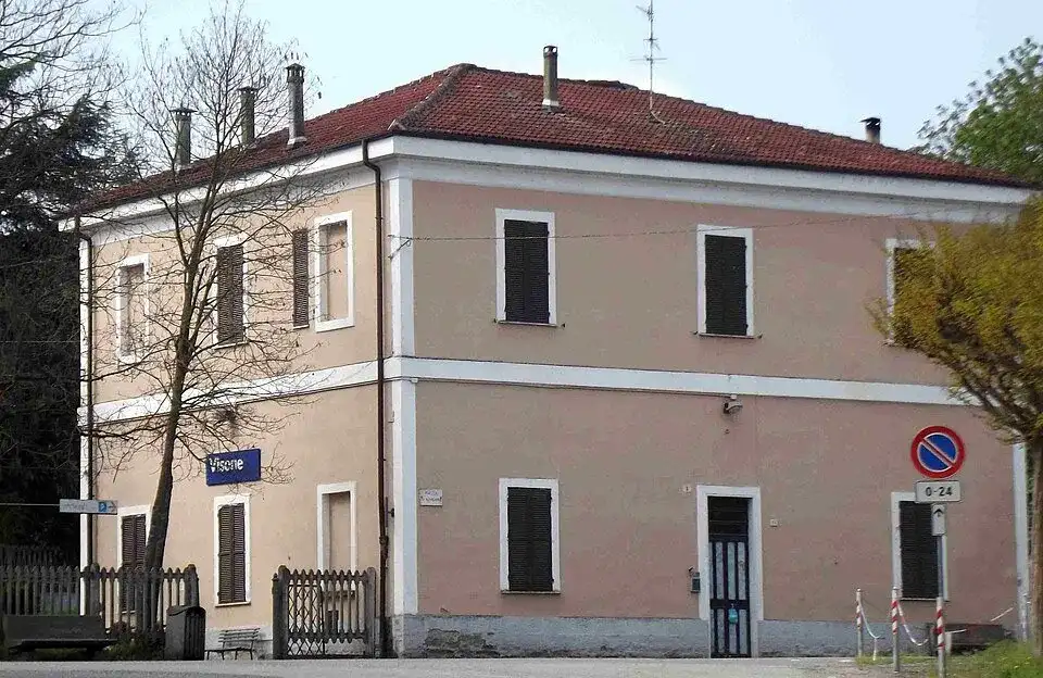
Il sentiero della torre (visone)
Acquese and Alto Monferrato · Da Torre medievale, borgo antico di Visone a .
- Distance
- 11,29 km
- Positive height difference
- Not indicated
- Reference duration
- 3 h
- Difficulty
- Moderate
- Development
- Not classified as a ring
- Activities
- Walking
Explore the route, map and available tracks → · Province of Alessandria

Monferrato Grand Trail
Monferrato · Da Piazza Castello, Casale Monferrato a Casale Monferrato.
- Distance
- 382 km
- Positive height difference
- Not indicated
- Reference duration
- Not indicated
- Difficulty
- Not specified
- Development
- Ring-shaped
- Activities
- Walking
Explore the route, map and available tracks → · Great Monferrato
Where to stay · Monferrato
Find stays on Booking.comExplore the region at the table
Where to eat in Monferrato
Looking for restaurants in Monferrato to complement your visit? Plan lunch or dinner around Sentieri del Monferrato: segui una traccia, scopri un paesaggio, choosing a restaurant near the places on your itinerary.
Restaurants in town or in the surrounding hills
Choose your stop around the event location, your route and the other villages you want to explore. Compare the restaurant location with your plans for the day.
Osterias, trattorias and Piedmontese cuisine
Browse the menu and choose the kind of meal you prefer. The dishes available, including any seasonal truffle dishes, depend on the restaurant and the time of your visit.
Booking a table for lunch or dinner
Allow time for your meal and agree the time, group size and dietary requirements with the restaurant. If you arrive by bike, ask where you can leave it during your stop.
A selection of restaurants for your visit will be available here soon.
Another perspective
Continue your journey
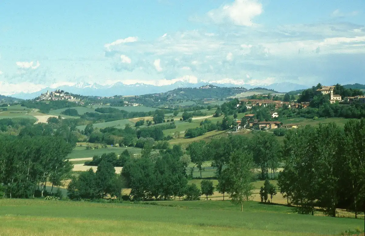 Excursions
A day in the hills
Excursions in the Monferrato: a day among paths, panoramas and villages
Choose an excursion in Monferrato and experience a day among paths and villages. Walking ideas, stops and advice for organizing departure and return.
Open the guideTrekkingWalk to learn
Trekking in the Monferrato: walking among vineyards, villages and new discoveries
Discover trekking in the Monferrato among vineyards, villages and woods. Explore paths, paths and experiences to experience the hills at your own pace.
Open the guide
Each stage is a discovery
You walk in the Monferrato: the pleasure of starting again, one stage at a time
Discover the paths in the Monferrato and the Great Way in 18 stages: villages, landscapes and advice for organizing a walking trip at your own pace.
Open the guideThe pleasure of small steps
Easy walks in the Monferrato: the time for small steps
Find easy walks in the Monferrato between fields, vineyards and villages. Discover routes, loops and stops for a day on foot at your own pace.
Open the guideThe calendar of November
The Monferrato in this period
Combine villages, walks and flavors with local events. Here are the events to discover in the calendar of the next seasons.
 November
Montechiaro d'Asti
Monferrato National White Truffle Fair
The white truffle of Monferrato is the protagonist of this event in Montechiaro d'Asti.
 November
Alessandria
San Baudolino Fair – Truffle Exhibition
Truffle, gastronomy and craftsmanship: the San Baudolino fair brings together local flavors and knowledge at Alessandria.
 November
Asti
National Truffle Fair
White truffles and gastronomy accompany an autumn event to combine with the discovery of Asti.
From reading to departure
Routes to explore
302 paths in the selection. Choose a proposal and open the map to prepare your day.

Casalese area
Monferrato by Infernot · Vignale–Moleto

Casalese area
Monferrato by Infernot · Moleto–Cella Monte
 WalkingAround the starting point
Asti, Alessandria and surroundings
Monferrato Grand Trail
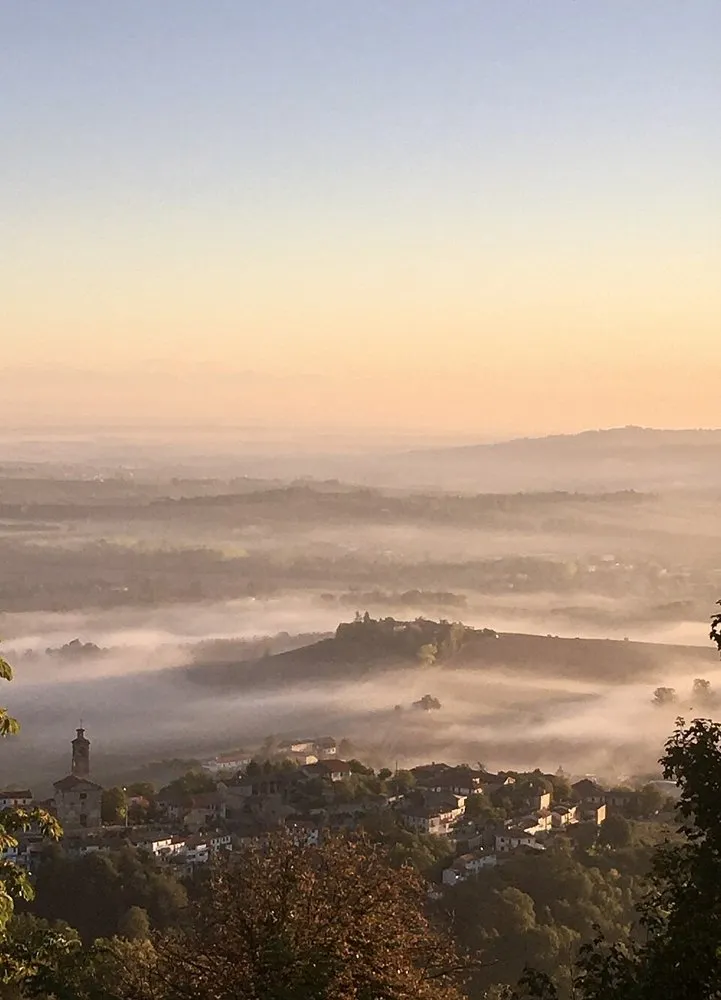 WalkingAround the starting point
Casalese area
Sanctuary of Crea–Casale Monferrato
 WalkingAround the starting point
Astigiano area
Fossil Path · Montiglio–Tonco


After the journey, another discovery
Experiences to do in Monferrato
Tours, activities and moments to remember. Explore the proposals and complete your day in Monferrato.
Castelletto Molina
Guided excursion among the hills and boats in the vineyards
A walking ring of approximately 11 km at Castelletto Molina, accompanied by a guide, among vineyards and colorful installations.
Discover the experienceRibs of Asti
E-bike tour with tastings between Costigliole and Isola d'Asti
A guided ride through the Asti hills with stops at local producers and tastings. The program depends on the available companies.
Discover the experienceRosignano Monferrato
Big Bench, historical archive and tasting at Vicara
At Rosignano Monferrato, a visit to the vineyards, panoramic point and cellar archive, with tasting of four local wines.
Discover the experienceTastings, meetings and activities to experience Monferrato together with those who know it.
Affiliate links: if you book through these links, MonferratoTrails may receive a commission at no extra cost to you. GetYourGuide handles booking, payment and support.
Where to stay in Monferrato
Hotels, B&Bs and agriturismos
Where to stay · Monferrato →Where to eat in Monferrato
Restaurants, osterias and trattorias
A selection of restaurants for your visit will be available here soon.