Trails · Monferrato
Routes in the Monferrato: choose your next day on foot or by bike
Choosing a route is already a way to begin the journey. You look at the map, recognize a town and imagine the road that connects it to the next hill. On foot you can stop on the details; by bicycle you can broaden your exploration and reach more places. The routes in Monferrato offer both possibilities, with days to be built around your pace and your curiosity.
You can look for a ring that takes you back to the starting village, a stage to experience with a backpack or a tour through vineyards and rural roads. To choose, start from how you want to move and the time available. Then delve deeper into what you will encounter: a church along the way, a panorama, a visit that encourages you to stop even after the exit.
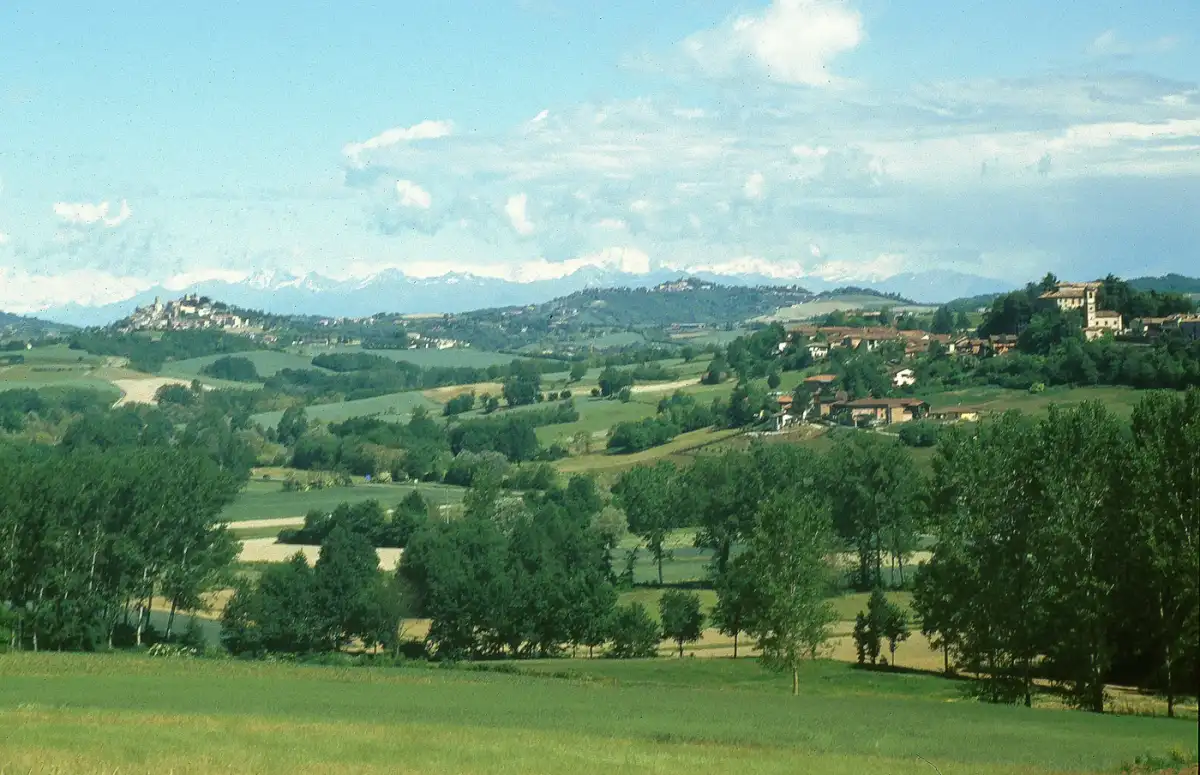
The right path begins with the day you want
Imagine how much time you want to spend walking or cycling and how much you want to leave for stops. A free morning has different demands than a full day; a weekend allows you to explore more options in the same area. Also consider the travel to get to the start and return at the end of the activity.
Open the route catalog and use search and filters to locate the activities that interest you. The cards distinguish walking, cycling, gravel, MTB and e-bike routes. Some itineraries include multiple activities: description and background help you understand which vehicle and what preparation is suitable for your outing.
Choose some proposals to read carefully. Comparing two or three tours in the same area allows you to decide based on the terrain, the commitment and the places you want to know. If you are leaving with a company, include in your choice the pace and experience of the people who will be with you.
Walking routes: three invitations to get to know the hills
Moncalvo, a link between the village and the countryside
The Moncalvo Truffle Trail starts from Piazza Carlo Alberto and measures 8.5 kilometres, with approximately 250 meters of climb. The visit can start from the Belvedere Bonaventura and from the façade of the former synagogue under the porticoes, before continuing through the center and reaching the panoramic avenue facing Crea.
Outside the town, San Pietro, known as La Pieve, the vineyards and farmhouses give the route a rural character. The passage from Cascina Orsolina and San Rocco accompanies the tour, then the return towards San Francesco finds the streets of Moncalvo. Arriving in the same village allows you to dedicate another moment to the visit, stopping where you had only looked on the way out.
Explore the Truffle Trail. The indicative duration is three hours, to be adapted to the pace and breaks. Asphalt and dirt road alternate, there are provincial crossings and the route is not suitable for strollers. To go up to the viewpoint you need to go up stairs.
Vignale–Moleto, walking towards a new arrival point
If you like the idea of reaching another town, the stage of the Monferrato degli Infernot from Vignale to Moleto offers 12.6 kilometers and 396 meters of climbing. From Piazza Mezzadra the route enters the countryside, with references to the old Fons Salera and Mongetto, before the passage towards Olivola and Ottiglio.
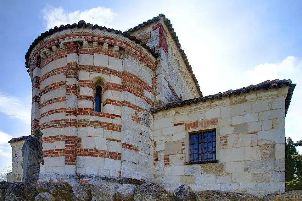
The landscape changes as you descend into the valley floors and ascend towards the villages. You can recognize Vignale on the hills, observe the cultivated ridges and follow the approach to Moleto, where the path meets the church of San Michele. The destination gives direction to the day and the stops allow you to know what lies between the departure and the arrival.
Consult Vignale–Moleto and prepare the return from the final location. The three hours reported are a reference to be expanded for visits and breaks. The route alternates asphalt and dirt, includes stretches on provincial roads and requires you to distribute the effort on the climbs between the towns.
Visone, a path between tower, ridge and woods
The Sentiero della Torre begins in the ancient village of Visone and goes up towards Monte Menno. Next to the medieval tower, the ancient wash house introduces the path; further on the ridge opens the view towards Cavatore, Grognardo, Ponzone and Acqui Terme. The altitude of Monte Menno is 405 metres: a reference for reading the panorama achieved.
The Tassere river circuit continues between villages and chestnut, hornbeam and oak woods. It is a route to choose also for the alternation between broad perspectives and more intimate passages, where the rhythm follows the terrain and the attention moves closer to the trees and the details of the path.
Open the Tower Trail of Visone: 11.29 kilometers and approximately three hours are indicated. The description indicates narrow tracks, possible sections affected by vegetation and a ford in the Tassere river circuit. Study the junctions of paths 541 and 544 and the return, which also retraces the initial approach.
Bike routes: connecting towns and landscapes
For a ride dedicated to the villages, cycle tourism offers tours in which to spread the visits throughout the day. The ring Acqui and the Lands of Brachetto, of 33 kilometres, recalls Fontanile, with the murals of Luigi Amelio, and Mombaruzzo, linked to the tradition of amaretti. The card indicates road or trekking bikes; stops in towns require time in addition to travel.
If you are looking for a mixed terrain, you can learn more about the gravel proposals; for specific off-road passages, compare the MTB itineraries. The e-bike adds assistance and must be chosen in a configuration suitable for the terrain. Climbs, descents and riding skills continue to be part of the assessment: the Bike Monferrato guide helps to orient you between the different possibilities.
For a larger project, the Monferrato Gravel Traverse develops a Valenza loop of 310 kilometers and 3,550 meters of climbing. Po plains, vineyards, meadows and woods accompany the journey between Alessandrino and Astigiano. The route requires dry terrain, includes short sections on foot and must be organized taking into account autonomy, stops and overnight stays.
Distance, difference in altitude and duration: read the information sheet together with the landscape
The kilometers indicate how long the route is; the positive difference in altitude describes the overall climb. Read this data along with the profile and the surface: a series of hills can change the pace, while a bumpy section can take longer than a smooth road. The technical difficulty deserves attention even when the distance is limited.
Duration is an estimate to compare with your experience. Photographs, visits and breaks add time, as does orientation on a route you're riding for the first time. Prepare a program that leaves room for these moments: stopping because a place interests you is part of the pleasure of exploring.
When a piece of data is missing, research it further in the source before choosing. An unindicated difference in altitude does not mean that the route is flat. The guide to easy walks is a starting point for comparing some walking proposals, keeping the attention on terrain, climb and actual time.
GPX maps and tracks: imagine the day before leaving
Open the map to locate the departure, arrival and progress of the route. A loop returns to the starting point; a linear stage requires preparing the return, a transfer or the continuation of the journey. Also check how to get to the place you want to leave from and how far it is from your base.
When the GPX is available, download it and check that you can view it offline. Observe the changes in direction and connections between the route and the countries where you want to stop. The track helps orient you; on the ground follow the signs and access conditions, checking the sources for updates before heading out.
Look for a route close to where you stay
The municipalities directory allows you to explore the routes associated with a locality. It is useful when you have already chosen where to stop or want to get to know a country better. Then check the actual starting point: an itinerary linked to a municipality may start nearby and require a move.
For multiple days in the same area, you can choose different outings while maintaining a fixed base. An itinerant journey instead requires connecting stages and overnight stays. The itinerary guide in Monferrato helps to deepen this choice, giving the stay a direction beyond the single route.
Stop along the journey: villages, visits and experiences
Once you've chosen your tour, look for a place you want to dedicate more time to. It could be the town of departure, a square crossed along the way or an activity in the living room area. Identify the necessary movements and leave a comfortable interval after the exit, especially if you have a visit booked.
In the Casalese area, Vicara's proposal at Rosignano Monferrato combines vineyards, Big Bench, historical archive of the cellar and tasting of four wines. At Ponzano Monferrato, Alemat offers a visit to the cellar and the historic infernot with tasting of four wines. They can follow up on the discovery of the landscape, allowing you to also learn about the work and stories of the companies.
If you want an accompanied walk, among the proposals you will find the ring of approximately 11 kilometers at Castelletto Molina, among vineyards and colorful boat installations. Consult the Experiences section to read the programme, meeting place and availability. The tab for an independent route and an activity with an operator have their own conditions: choose what corresponds to the way you want to experience the day.
Frequently asked questions about routes in the Monferrato
How do I find a route without already knowing its name?
Start from the catalog and choose the activity that interests you, or explore the routes from the page of a municipality. Then compare the description, map and data of the proposals suitable for the area and available time.
Is a short route always easy?
No. Climbs, uneven surfaces, narrow passages and driving difficulties can make even a short distance challenging. Read the description and evaluate the route with respect to the preparation of those who participate.
Can I cycle along the indicated itineraries on foot?
Check the activities associated with the card and the access indications. The presence of a pedestrian path is not enough to establish that it is also permitted and suitable for cycling.
Does the indicated duration include stops and visits?
Consider this a reference measurement and read the source's clarifications. Add time for your breaks, any appointments, transfers and return.
Where do I find GPX tracks?
Open the route details and consult the section dedicated to the tracks. The download is available on tabs that have a file; delve into the source information when necessary.
Choose the route that makes you want to leave and reserve time for what you will encounter. A climb, a village and a stop can transform a line on the map into a day to remember. Explore the routes of the Monferrato and prepare your next release.
Inside the landscape
The territory, route after route
Enter the places in the guide: towns to cross, landscapes to observe and details to prepare for the day. Each itinerary has a different pace, to choose according to your pace.

Monferrato by Infernot · Vignale–Moleto
Monferrato Casalese · Da Vignale Monferrato a Moleto.
- Distance
- 12,6 km
- Positive height difference
- 396 m
- Reference duration
- 3 h
- Difficulty
- Easy / leisure
- Development
- Not classified as a ring
- Activities
- Walking
Explore the route, map and available tracks → · Piedmont Outdoor

Moncalvo · Truffle Path
Monferrato Astigiano · Da Piazza Carlo Alberto, Moncalvo a Moncalvo.
- Distance
- 8,5 km
- Positive height difference
- 250 m
- Reference duration
- 3 h
- Difficulty
- Not specified
- Development
- Ring-shaped
- Activities
- Walking
Explore the route, map and available tracks → · Visit Langhe Monferrato Roero
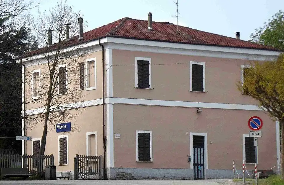
Il sentiero della torre (visone)
Acquese and Alto Monferrato · Da Torre medievale, borgo antico di Visone a .
- Distance
- 11,29 km
- Positive height difference
- Not indicated
- Reference duration
- 3 h
- Difficulty
- Moderate
- Development
- Not classified as a ring
- Activities
- Walking
Explore the route, map and available tracks → · Province of Alessandria
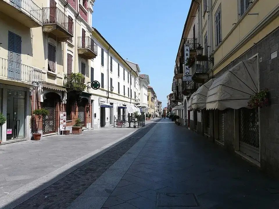
Monferrato Gravel Traverse
Monferrato · Departure and arrival: Valenza.
- Distance
- 310 km
- Positive height difference
- 3550 m
- Reference duration
- Not indicated
- Difficulty
- Not specified
- Development
- Ring-shaped
- Activities
- Gravel, Mountain bike, E-bike
Explore the route, map and available tracks → · I'm going out for a walk
Where to stay · Monferrato
Find stays on Booking.comExplore the region at the table
Where to eat in Monferrato
Looking for restaurants in Monferrato to complement your visit? Plan lunch or dinner around Percorsi nel Monferrato: scegli la tua prossima giornata a piedi o in bici, choosing a restaurant near the places on your itinerary.
Restaurants in town or in the surrounding hills
Choose your stop around the event location, your route and the other villages you want to explore. Compare the restaurant location with your plans for the day.
Osterias, trattorias and Piedmontese cuisine
Browse the menu and choose the kind of meal you prefer. The dishes available, including any seasonal truffle dishes, depend on the restaurant and the time of your visit.
Booking a table for lunch or dinner
Allow time for your meal and agree the time, group size and dietary requirements with the restaurant. If you arrive by bike, ask where you can leave it during your stop.
A selection of restaurants for your visit will be available here soon.
Another perspective
Continue your journey

The beauty of being outside
Outdoor in the Monferrato: the pleasure of exploring, on foot and by bike
Experience the outdoors in the Monferrato among paths, villages, parks and bike routes. Discover ideas and experiences for a day in nature or a weekend.
Open the guide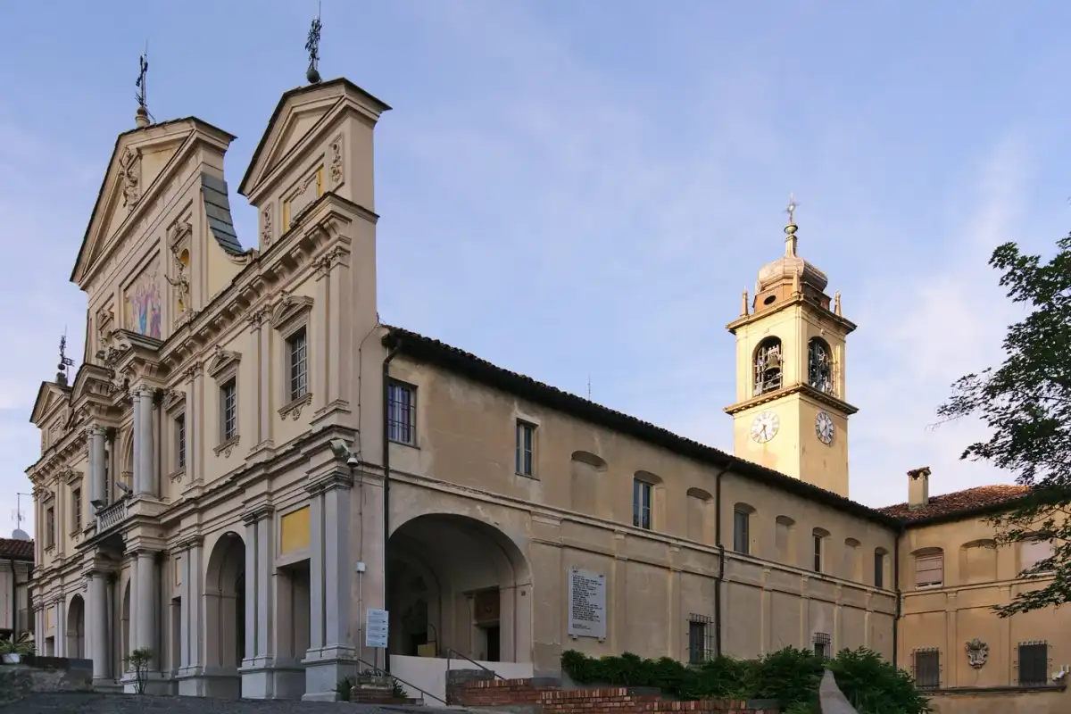 Itineraries
Follow the thread of the journey
Itineraries in the Monferrato: villages, paths and roads to experience while traveling
Discover the Monferrato itineraries among villages, paths and wine routes. Walking and cycling ideas for a day, a weekend or a trip in stages.
Open the guide
Two days, many stories
Weekend in Monferrato: two days of walks, villages and small pleasures
Organize a weekend in Monferrato between walks, villages, bikes and tastings. Ideas for two days to live calmly, choosing one area at a time.
Open the guide
Places to experience, flavors to remember
Experiences in the Monferrato: meeting the territory, one discovery at a time
Experience Monferrato with tastings, visits, guided walks and bike tours. Discover experiences to combine with a route or to put at the center of the journey.
Open the guideThe calendar of November
The Monferrato in this period
Combine villages, walks and flavors with local events. Here are the events to discover in the calendar of the next seasons.
 November
Montechiaro d'Asti
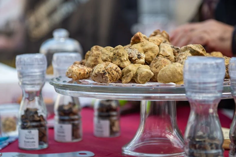
Monferrato National White Truffle Fair
The white truffle of Monferrato is the protagonist of this event in Montechiaro d'Asti.
 November
Alessandria
San Baudolino Fair – Truffle Exhibition
Truffle, gastronomy and craftsmanship: the San Baudolino fair brings together local flavors and knowledge at Alessandria.
 November
Asti
National Truffle Fair
White truffles and gastronomy accompany an autumn event to combine with the discovery of Asti.
From reading to departure
Routes to explore
505 paths in the selection. Choose a proposal and open the map to prepare your day.

Casalese area
Monferrato by Infernot · Vignale–Moleto

Casalese area
Monferrato by Infernot · Moleto–Cella Monte
 WalkingAround the starting pointGravelAround the starting point
Asti, Alessandria and surroundings
Monferrato Gravel Traverse
Asti, Alessandria and surroundings
Monferrato Landscapes
 GravelAround the starting point

Asti, Alessandria and surroundings
Monferrato Grand Trail
 WalkingAround the starting point
Casalese area
Sanctuary of Crea–Casale Monferrato
 WalkingAround the starting point
Astigiano area
Fossil Path · Montiglio–Tonco

After the journey, another discovery
Experiences to do in Monferrato
Tours, activities and moments to remember. Explore the proposals and complete your day in Monferrato.
Rosignano Monferrato
Big Bench, historical archive and tasting at Vicara
At Rosignano Monferrato, a visit to the vineyards, panoramic point and cellar archive, with tasting of four local wines.
Discover the experiencePonzano Monferrato
Visit to the cellar and the infernot with Alemat tasting
At Ponzano Monferrato, visit to the cellar and the historic infernot, followed by a tasting of four wines.
Discover the experienceCastelletto Molina
Guided excursion among the hills and boats in the vineyards
A walking ring of approximately 11 km at Castelletto Molina, accompanied by a guide, among vineyards and colorful installations.
Discover the experienceTastings, meetings and activities to experience Monferrato together with those who know it.
Affiliate links: if you book through these links, MonferratoTrails may receive a commission at no extra cost to you. GetYourGuide handles booking, payment and support.
Where to stay in Monferrato
Hotels, B&Bs and agriturismos
Where to stay · Monferrato →Where to eat in Monferrato
Restaurants, osterias and trattorias
A selection of restaurants for your visit will be available here soon.